

Surf Forecast and Surf Reports Worldwide
![]() Surf-Forecast.com provides surf forecast and surf reports for over 7,000 of the world’s best surf spots. We also provide surfers, windsurfers & kitesurfers with wave maps, wind maps and a custom e-mail surf and wind alert system. Also check out the beach cams, wind forecast and our local Wave Finder before going surfing.
Surf-Forecast.com provides surf forecast and surf reports for over 7,000 of the world’s best surf spots. We also provide surfers, windsurfers & kitesurfers with wave maps, wind maps and a custom e-mail surf and wind alert system. Also check out the beach cams, wind forecast and our local Wave Finder before going surfing.
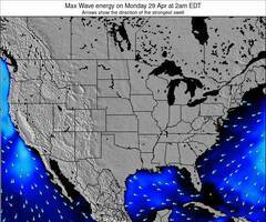
Forecast Wave Energy (Power): 12hrs
Lake Erie Wavefinder:
Swell with favourable wind conditions
United States Wavefinder
Swell with favourable wind conditions
Global Big Wavefinder
Powerful swell with light or offshore wind

Surf spots in your area
* We have determined your approximate geographical location by the IP address, which suggests these closest surfing spots. Click the names below to see more info and wave forecasts.
-
 Pumilla
Donde esta el hombre del saco, que lo vuelke coñoooo
Pumilla
Donde esta el hombre del saco, que lo vuelke coñoooo
-
fox1nz
flat
- No hay olas a pesar del reporte
- fuera los allemanes !
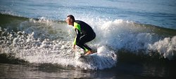
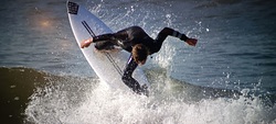
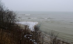
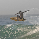
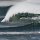
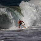
Surf photos from
the gallery
 9 Jul 2012
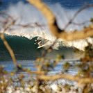
 11 Sep 2015
Latest submitted reviews
Banyans surf break:

“If you haven't been surfing here all your life and it's firing good luck getting any waves. If you try and you are not from here you best sit on the shoulder and hope someone will let you into a wave. Respect the locals.”
F1 from UNITED STATES - 17 Apr 2024
Click here to read 1 more review(s) of Banyans or submit your own
Pine Trees surf break:
“Fun place to surf, if you surf the far south break its more friendly for tourist, new comers, and beginners.
If you surf the breaks north show some respect because there are more advanced local surfers and we get thirsty for waves when they arrive.”
F1 from UNITED STATES - 17 Apr 2024
Click here to read 1 more review(s) of Pine Trees or submit your own
Guns surf break:

“Great spot, never crowded, we surf it almost every week the whole year around. Right and left btw (just on big days the right closes).
Wear a 4/3mm (unless it is a sunny day in December or January).
No sharks in Namibia (or at least nothing dangerous, there had never been an attack), just seals and dolphins :)”
Surf Guide Namibia from NAMIBIA - 05 Apr 2024
A Note About Secret Spots
In compiling this website, we have endeavoured to include data for the main global surf breaks. If anyone feels we have accidentally exposed a secret spot, let us know and if we agree that it is sensitive, we'll take it down.


 Nearest