

- Forecast
- Maps
- Live
- Weather State
- Spot Information

Surf Forecasts
Reef
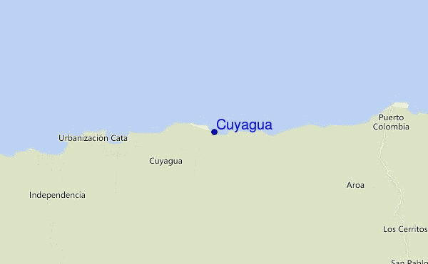
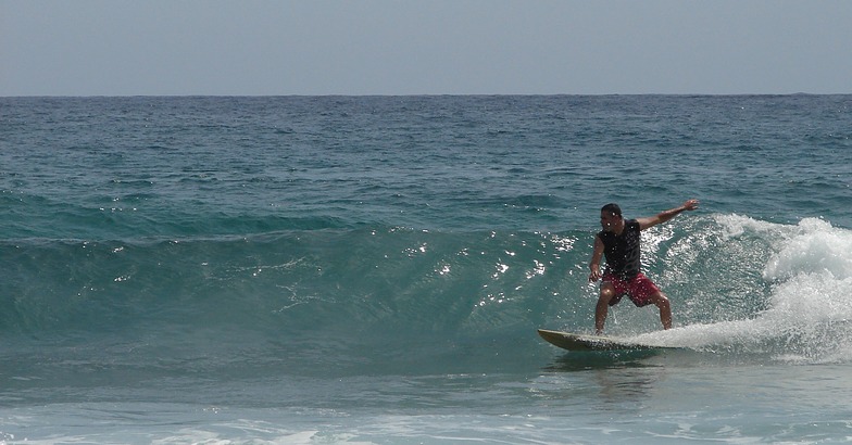
Cuyagua surf Forecast / Zona del Centro / Venezuela
48hr Weather and Surf, issued 7 pm Thursday 25 Apr 2024 -04
Forecast update in hr min s Update imminent
Cuyagua surf forecast is for near shore open water. Breaking waves will often be smaller at less exposed spots.
Today's Cuyagua sea temperature is 27.3°C (Statistics for 25 Apr 1981-2005 - mean: 26.6 °C max: 27.3 °C min: 25.5 °C)
- Map Icons:
 Break
Break Live Wave Height (m)
 Live Wind Speed (km/h)
 Surf Rating (10 Max)
 Ocean Swells (m)
- Wind Speed (km/h)
Cuyagua surf forecast is for near shore open water. Breaking waves will often be smaller at less exposed spots.
Today's Cuyagua sea temperature is 27.3°C (Statistics for 25 Apr 1981-2005 - mean: 26.6 °C max: 27.3 °C min: 25.5 °C)
How big are the waves at Cuyagua today?
The current surf forecast for Cuyagua at 11PM is: 1.6m 6s primary swell from a East-northeast direction and 0.1m 11s secondary swell from a Northeast direction (forecast issued at 07:00pm April 25). The wind direction is predicted to be cross-shore.
| Time (-04) & Date | Wave Height | Wave Period |
|---|---|---|
| Morning (25 Apr) | - | - |
| Afternoon (25 Apr) | 5ft (1.6m) | 7s |
| Evening (25 Apr) | 5ft (1.6m) | 7s |
Table - waves today at Cuyagua. (Swell directed towards the surf break)
Updates in hr min s Update imminent
Thursday 25 | Friday 26 | Saturday 27 | Sunday 28 | Monday 29 | Tuesday 30 | Wednesday 01 | Thursday 02 | Fri 03 | ||||||||||||||||||||||||||||||||||||||||||||||||||||
| 5 PM | 8 PM | 11 PM | 2 AM | 5 AM | 8 AM | 11 AM | 2 PM | 5 PM | 8 PM | 11 PM | 2 AM | 5 AM | 8 AM | 11 AM | 2 PM | 5 PM | 8 PM | 11 PM | 2 AM | 5 AM | 8 AM | 11 AM | 2 PM | 5 PM | 8 PM | 11 PM | 2 AM | 5 AM | 8 AM | 11 AM | 2 PM | 5 PM | 8 PM | 11 PM | 2 AM | 5 AM | 8 AM | 11 AM | 2 PM | 5 PM | 8 PM | 11 PM | 2 AM | 5 AM | 8 AM | 11 AM | 2 PM | 5 PM | 8 PM | 11 PM | 2 AM | 5 AM | 8 AM | 11 AM | 2 PM | 5 PM | 8 PM | 11 PM | 2 AM | |
Rating (10 max) | ||||||||||||||||||||||||||||||||||||||||||||||||||||||||||||
Swell Height Map |    |  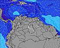 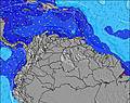 |  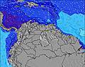 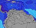 | 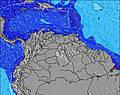 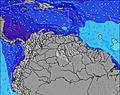 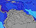 | 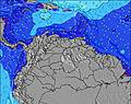 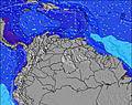 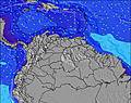 | 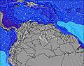 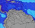  |    | 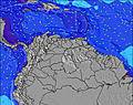 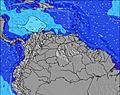 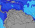 | 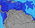   | |||||||||||||||||||||||||||||||||||||||||||||||||||
| Wave Height (m) & direction (?) | ||||||||||||||||||||||||||||||||||||||||||||||||||||||||||||
| Period(s) (?) | 7 | 7 | 6 | 7 | 7 | 7 | 7 | 6 | 6 | 6 | 6 | 6 | 6 | 6 | 6 | 6 | 6 | 6 | 6 | 6 | 6 | 6 | 6 | 6 | 6 | 6 | 6 | 5 | 5 | 5 | 5 | 5 | 5 | 5 | 10 | 10 | 5 | 5 | 9 | 5 | 5 | 6 | 6 | 9 | 9 | 6 | 6 | 8 | 5 | 6 | 8 | 8 | 8 | 8 | 8 | 8 | 8 | 8 | 8 | 6 |
Wave (?)Graph | ||||||||||||||||||||||||||||||||||||||||||||||||||||||||||||
| Energy (?) | 192 | 192 | 197 | 186 | 192 | 186 | 186 | 191 | 213 | 191 | 185 | 145 | 127 | 150 | 164 | 191 | 191 | 140 | 136 | 115 | 96 | 80 | 71 | 69 | 63 | 57 | 47 | 44 | 39 | 39 | 49 | 49 | 49 | 42 | 34 | 34 | 34 | 34 | 30 | 42 | 37 | 40 | 47 | 51 | 61 | 61 | 53 | 51 | 54 | 69 | 77 | 92 | 116 | 125 | 122 | 116 | 98 | 100 | 157 | 96 |
Wind (km/h) | ||||||||||||||||||||||||||||||||||||||||||||||||||||||||||||
| Wind State (?) onshore cross-onshore cross-shore cross-offshore offshore glassy | cross | cross | cross | glass | glass | glass | on | cross- on | cross- on | cross- on | cross- on | cross- on | cross | cross | cross- on | cross- on | cross- on | cross- on | cross | cross | cross | cross- on | cross- on | cross- on | cross- on | cross- on | cross | cross- on | cross | cross | cross- on | cross- on | cross- on | cross | cross | cross | cross | cross | cross- on | cross- on | cross- on | cross | cross | cross | cross | cross- on | cross- on | cross- on | cross- on | cross | cross | cross- on | cross | cross- on | glass | glass | cross | cross | cross | cross |
High Tide / height (m) | 1:49AM 0.36 | 2:34AM 0.37 | 3:29AM 0.37 | 4:35AM 0.38 | 5:39AM 0.38 | 6:38AM 0.38 | 9:33PM 0.20 | 7:35AM 0.36 | 9:50PM 0.24 | |||||||||||||||||||||||||||||||||||||||||||||||||||
Low Tide / height (m) | 11:33AM 0.02 | 12:48PM 0.01 | 1:52PM 0.01 | 2:39PM 0.02 | 3:14PM 0.04 | 3:38PM 0.06 | 10:48PM 0.20 | 3:49PM 0.09 | 12:26AM 0.22 | |||||||||||||||||||||||||||||||||||||||||||||||||||
Thursday 25 | Friday 26 | Saturday 27 | Sunday 28 | Monday 29 | Tuesday 30 | Wednesday 01 | Thursday 02 | Fri 03 | ||||||||||||||||||||||||||||||||||||||||||||||||||||
| Sunrise | - | - | - | - | - | 6:13 | - | - | - | - | - | - | - | 6:13 | - | - | - | - | - | - | - | 6:13 | - | - | - | - | - | - | - | 6:13 | - | - | - | - | - | - | - | 6:13 | - | - | - | - | - | - | - | 6:11 | - | - | - | - | - | - | - | 6:11 | - | - | - | - | - | - |
| Sunset | 6:42 | - | - | - | - | - | - | - | 6:42 | - | - | - | - | - | - | - | 6:42 | - | - | - | - | - | - | - | 6:42 | - | - | - | - | - | - | - | 6:42 | - | - | - | - | - | - | - | 6:42 | - | - | - | - | - | - | - | 6:43 | - | - | - | - | - | - | - | 6:43 | - | - | - |
Rain (mm) | 1 | - | - | - | - | - | - | - | - | - | - | - | - | - | - | - | - | - | - | - | - | - | - | 1 | 1 | - | 1 | - | - | - | - | - | - | - | - | - | - | - | - | 3 | 2 | 1 | - | - | - | - | 1 | 2 | 2 | 1 | - | 1 | - | - | 1 | 1 | 1 | - | - | - |
| Temp. °C | 28 | 27 | 26 | 26 | 26 | 27 | 28 | 28 | 28 | 26 | 26 | 26 | 25 | 26 | 28 | 28 | 26 | 25 | 25 | 25 | 26 | 26 | 27 | 27 | 27 | 25 | 25 | 25 | 25 | 25 | 26 | 27 | 27 | 25 | 25 | 25 | 25 | 26 | 28 | 27 | 27 | 26 | 26 | 25 | 25 | 26 | 27 | 27 | 26 | 26 | 25 | 25 | 25 | 26 | 27 | 26 | 27 | 26 | 26 | 26 |
| Feels °C (?) | 31 | 31 | 30 | 31 | 31 | 31 | 31 | 31 | 31 | 29 | 29 | 29 | 28 | 29 | 30 | 31 | 29 | 29 | 29 | 28 | 29 | 29 | 29 | 30 | 30 | 28 | 29 | 28 | 28 | 28 | 29 | 29 | 30 | 28 | 28 | 28 | 29 | 30 | 31 | 30 | 30 | 30 | 30 | 29 | 28 | 30 | 30 | 31 | 30 | 30 | 29 | 29 | 29 | 31 | 33 | 31 | 32 | 30 | 31 | 31 |
FREE! Surf-Forecast.com widget for your website
The surf report / weather widget below is available to embed on third party websites free of charge and provides a summary of our Cuyagua surf forecast. Simply grab the html code snippet that we provide and paste it into your own site. You can choose your preferred language and metric/imperial units for the surf forecast feed to suit users of your site. Click here to get the code.


 Nearest