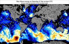
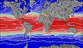
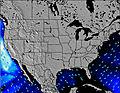
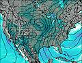
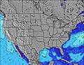
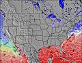
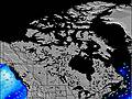
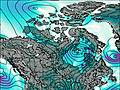
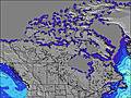
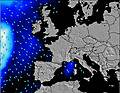
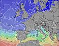
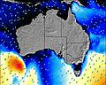
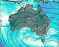
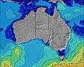
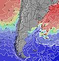
Animated Wave (Swell) & Wind Maps for Clipperton Island
Interactive Clipperton Island wave (swell) map for surfers, windsurfers and sailors showing open ocean wave size, wave period and wave energy. You can customize the wave and wind maps with overlays for wind arrows, pressure and general weather for surfing. There are also options to display live wind observations from ships, wave buoys and weather stations on the wave maps in the Clipperton Island region.List of all animated swell maps
Important: JavaScript support must be turned on in order to use these animated swell maps. Alternatively, visit our basic swell maps of Clipperton Island where each view becomes a separate image.


Like us
Follow us
Add us
Watch us