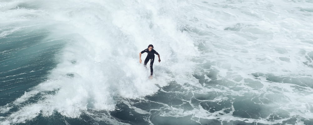
Current weather conditions and live observations for Turtle Cove based on the nearest weather station observations (including METAR, SYNOP, ship and quickscat wind data). This is the most reliable place on surf-forecast.com to see what is happening with the weather in Turtle Cove right now. Also check out the current weather map overlays on our dynamic weather maps.
Current Weather near Turtle Cove
as reported by 5 closest weather stations
| Weather Station | Weather | Wind | Gusts | Temp. | Visibility | Visibility / Cloud |
|---|---|---|---|---|---|---|
Montauk Airport 5 km WSW202 m above sea level 2 hours ago |  - | 17.2 °C | 0.0 | 0.0 | ||
thunderstorm affecting Montauk 8 km SW26 m above sea level 2 hours ago |  Thunderstorm | (- km/h at -°) | °C | |||
BUOY-MTKN6 9 km SW3 m above sea level 1 hour ago | - (- km/h at -°) | 17.2 °C | - | - | ||
lightning 7km NE of Springs 19 km SW0 m above sea level 2 hours ago | Thunderstorm | (- km/h at -°) | °C | |||
Block Island Airport 26 km ENE211 m above sea level 2 hours ago | Thunderstorm - in the vicinity | light winds from the W (19 km/h at 280°) | BKN055 °C | 0.0 | 0.0 -- few | |
Westerly Airport 31 km N218 m above sea level 1 hour ago |  Moderate rain | light winds from the S (17 km/h at 180°) | 16.7 °C | 5 | 5 scattered broken | |
lightning 8km SE of East Hampton 31 km SSW0 m above sea level 3 hours ago | Thunderstorm | (- km/h at -°) | °C | |||
Groton/New London Airport 33 km NW218 m above sea level 1 hour ago |  Light rain | light winds from the SSE (11 km/h at 160°) | 16.7 °C | 16 | 16 fewovercast | |
thunderstorm affecting Poquonock Bridge 33 km NW4 m above sea level 3 hours ago | Thunderstorm | (- km/h at -°) | °C | |||
lightning 30km SE of Charlestown 34 km ENE0 m above sea level 2 hours ago | Thunderstorm | (- km/h at -°) | °C |
* NOTE: not all weather observatories update at the same frequency which is the reason why some locations may show data from stations that are further away than known closer ones. We also include passing Ship data if it is recorded close to Turtle Cove and within an acceptable time window.
 Nearest
(11 km/h at 1°)