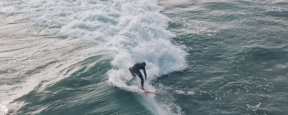

Crescent Surf Guide
Crescent is a beach break suitable for beginners and intermediates. Needs a powerful west to northwest swell to work. Best at mid to high tide, but at dead high tide it can get flat for about 45 minutes. S-SW offshores produce the best conditions. It can get closed out at 6' surf size and above, unless there are strong SW or SE offshores...kayakers welcome. Salt Creek state park is adjacent to the east end of the bay. Crescent is a private beach and with a reasonable day fee, you get parking and a hot shower.
Crescent Spot Info
| Type: | Rating: | Reliability: | Todays Sea Temp*: |
|---|---|---|---|
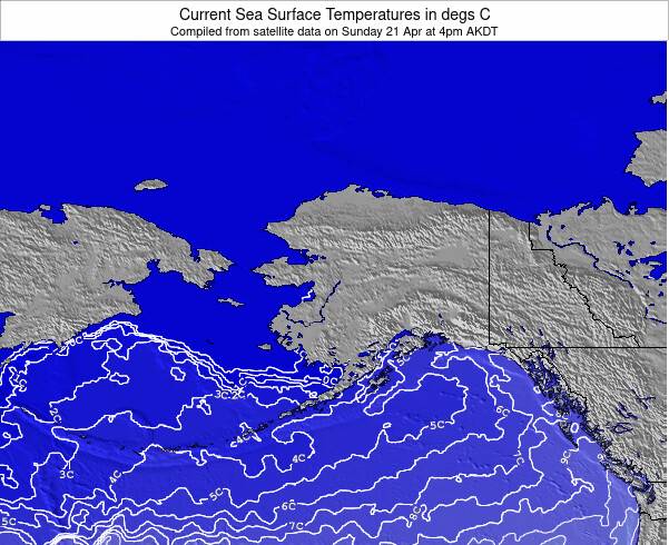
 Beach Beach |  2 2 | inconsistent | 9.8°C*ocean temperature recorded from satellite |
Surfing Crescent:
The best conditions reported for surf at Crescent occur when a West-northwest swell combines with an offshore wind direction from the South-southeast.
What's the best time of year to surf Crescent (for consistent clean waves)?
Explore Crescent Location Map
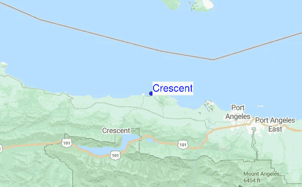
Interactive Crescent surf break location map. View information about nearby surf breaks, their wave consistency and rating compared to other spots in the region. Current swell conditions from local buoys are shown along with live wind speed and direction from nearby weather stations. Click icons on the map for more detail. The closest passenger airport to Crescent is Port Angeles Cgas Airport (NOW) in USA, 22 km (14 miles) away (directly). The second nearest airport to Crescent is Victoria International Airport (YYJ) in Canada, 58 km (36 miles) away.
- Map Icons:
 Break
Break Live Wave Height (m)
 Live Wind Speed (km/h)
 Surf Rating (10 Max)
 Ocean Swells (m)
- Wind Speed (km/h)

Tuesday, 13 October 2026, 01:02 Local Time
| Mon | Tue | |||
| 8PM | 11PM | 2AM | 5AM | |
| Wave (m) | ||||
| Period (s) | 15 | 14 | 14 | 14 |
| Wind (km/h) | ||||
| Wind State | cross | cross | cross- on |
glass |
Tides at Crescent
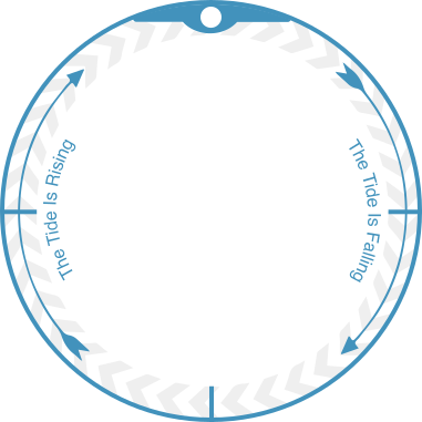


| NEXT | IS AT (local time) | remaining |
|---|---|---|
| high tide | ||
| low tide |


Swell History at Crescent
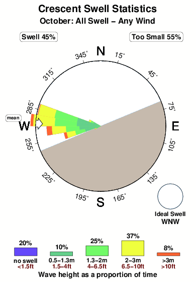
Surf stats for Crescent, see the swell variation by month or season on the history page here.

Wind History at Crescent
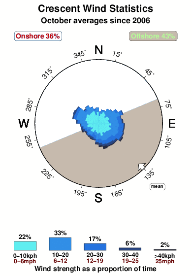
Wind stats for Crescent, see the variation in direction and stength by month or season on the history page here.
Crescent Reviews:
Interactive Porthcawl Point location map. View nearby buoy information, live wind conditions and surrounding roads, paths and locations to help find new breaks. Click the buoys or wind icon to view more information.
- Overall:2.0
- Quality on a good day:2.2
- Consistency of Surf:1.6
- Difficulty Level:2.4
- Wind and Kite Surfing:
 1.0
1.0 - Crowds:
 3.3
3.3

Salt Creek is the boundary! Stay on the County side to and from the water, once in the water the private property boundary goes out to a -11 low tide. Three signs in the parking area at Salt Creek parking lot, one with a map show the boundary. Stay off the sand on the west sides of the Creek and you won't have to worry about criminal trespass.
Thank you.”
Other Nearby Breaks Closest To:
Discover surf breaks near Crescent. Click below to view there surf guides.
 Reef
Reef River
River River
River Nearest