Pennington Bay Surf Guide
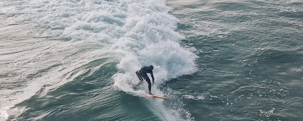
Pennington Bay in Kangaroo Island is a fairly exposed beach break that has pretty consitent surf, although summer tends to be mostly flat. Offshore winds blow from the north northeast. Most of the surf here comes from groundswells and the ideal swell angle is from the south. Waves at the beach break both left and right. Good surf at all stages of the tide. When the surf is up, crowds are likely Watch out for rips and sharks.
Pennington Bay Spot Info
| Type: | Rating: | Reliability: | Todays Sea Temp*: |
|---|---|---|---|
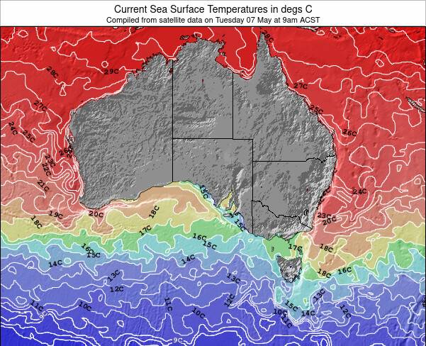
| fairly consistent | 16.5°C*ocean temperature recorded from satellite |
Surfing Pennington Bay:
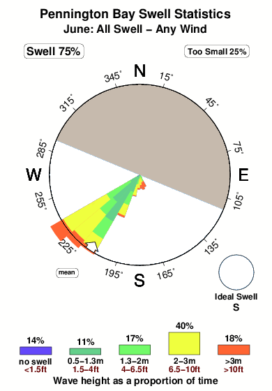
The best conditions reported for surf at Pennington Bay occur when a South swell combines with an offshore wind direction from the North-northeast.
What's the best time of year to surf Pennington Bay (for consistent clean waves)?
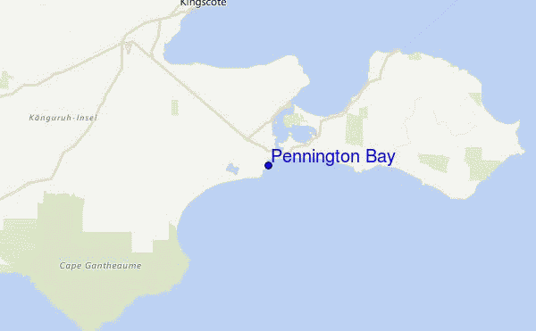
Explore Pennington Bay Location Map
Interactive Pennington Bay surf break location map. View information about nearby surf breaks, their wave consistency and rating compared to other spots in the region. Current swell conditions from local buoys are shown along with live wind speed and direction from nearby weather stations. Click icons on the map for more detail. The nearest passenger airport to Pennington Bay is Adelaide International Airport (ADL) in Australia, which is 125 km (78 miles) away (directly). The second closest airport to Pennington Bay is Woomera Airport (UMR), also in Australia, 531 km (330 miles) away.
- Map Icons:
 Break
Break Live Wave Height (m)
 Live Wind Speed (km/h)
 Surf Rating (10 Max)
 Ocean Swells (m)
- Wind Speed (km/h)
Wednesday, 10 June 2026, 20:18 Local Time
| Wed | Thu | |||
| 6:30PM | 9:30PM | 0:30AM | 3:30AM | |
| Wave (m) | ||||
| Period (s) | 17 | 16 | 16 | 16 |
| Wind (km/h) | ||||
| Wind State | cross | off | off | off |
Tides at Pennington Bay
| NEXT | IS AT (local time) | remaining |
|---|---|---|
| high tide | ||
| low tide |
Swell History at Pennington Bay
Surf stats for Pennington Bay, see the swell variation by month or season on the history page here.

Wind History at Pennington Bay
Wind stats for Pennington Bay, see the variation in direction and stength by month or season on the history page here.

Other Nearby Breaks Closest To:
Discover surf breaks near Pennington Bay. Click below to view there surf guides.
- D'Estrees Bay
 Reef
Reef 1.0
1.0
Reliability: fairly consistent16km away - Vivonne Bay
 Beach and sandbar
- 1.0
Reliability: fairly consistent52km away - Cape Young Husband
 Point
Point 3.0
3.0
Reliability: fairly consistent54km away - Rapid Bay
- Beach
 2.0
2.0
Reliability: inconsistent54km away - Cape Kersaint
- Point
- 1.0
Reliability: fairly consistent58km away
 Nearest