
Bunkum Bay Surf Guide
Bunkum Bay in - is an exposed point break that has inconsistent surf. Winter is the optimum time of year for surfing here. Ideal winds are from the east southeast. Usually gets local windswells, but groundswells do happen and the best wave direction is from the north. Best around low tide. Unlikely to be too crowded, even when the surf is up. Rocks are a hazard.
Bunkum Bay Spot Info
| Type: | Rating: | Reliability: | Todays Sea Temp*: |
|---|---|---|---|
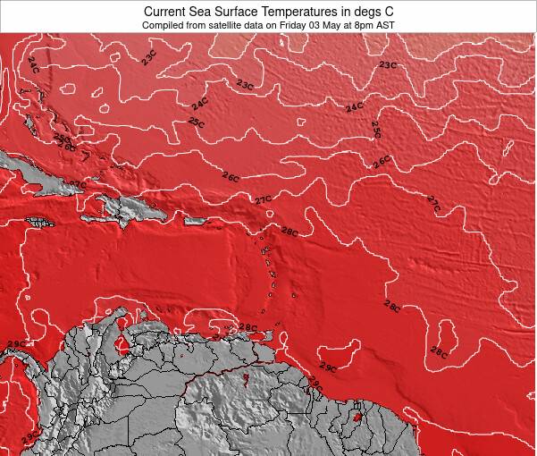
| inconsistent | 27.8°C*ocean temperature recorded from satellite |
Surfing Bunkum Bay:
The best conditions reported for surf at Bunkum Bay occur when a North swell combines with an offshore wind direction from the East-southeast.
What's the best time of year to surf Bunkum Bay (for consistent clean waves)?
Explore Bunkum Bay Location Map
Interactive Bunkum Bay surf break location map. View information about nearby surf breaks, their wave consistency and rating compared to other spots in the region. Current swell conditions from local buoys are shown along with live wind speed and direction from nearby weather stations. Click icons on the map for more detail. The closest passenger airport to Bunkum Bay is V C Bird International (Antigua) Airport (ANU) in Leeward Islands, 61 km (38 miles) away (directly). The second nearest airport to Bunkum Bay is Robert L Bradshaw (Basse Terre) Airport (SKB) in St. Kitts & Nevis, 79 km (49 miles) away.
- Map Icons:
 Break
Break Live Wave Height (m)
 Live Wind Speed (km/h)
 Surf Rating (10 Max)
 Ocean Swells (m)
- Wind Speed (km/h)
Wednesday, 10 June 2026, 06:47 Local Time
| Wednesday 10 | ||||
| 5AM | 8AM | 11AM | 2PM | |
| Wave (m) | ||||
| Period (s) | 8 | 8 | 8 | 8 |
| Wind (km/h) | ||||
| Wind State | off | off | cross- off |
cross- off |
Swell History at Bunkum Bay
Surf stats for Bunkum Bay, see the swell variation by month or season on the history page here.


Wind History at Bunkum Bay
Wind stats for Bunkum Bay, see the variation in direction and stength by month or season on the history page here.
Other Nearby Breaks Closest To:
Discover surf breaks near Bunkum Bay. Click below to view there surf guides.
- Woodlands Beach
 Beach
Beach 3.0
3.0
Reliability: inconsistent1km away - Lime Squash
- Beach
- 3.0
Reliability: inconsistent3km away - Rendezvous Point/Zen-Zone
 Reef and point
 2.0
2.0
Reliability: inconsistent3km away - Jasmine Point
 Reef/cement dock
- 3.0
Reliability: inconsistent4km away - Seahook's Dock
- Reef/cement dock
- 3.0
Reliability: inconsistent4km away
 Nearest