Pelle a Tarte Surf Stats
- Forecast
- Maps
- Live
- Weather State
- Spot Information
All swells
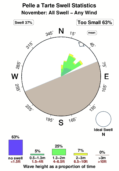


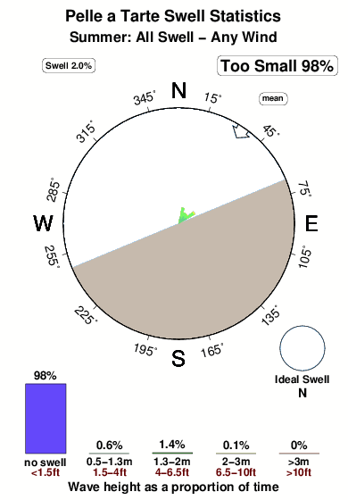
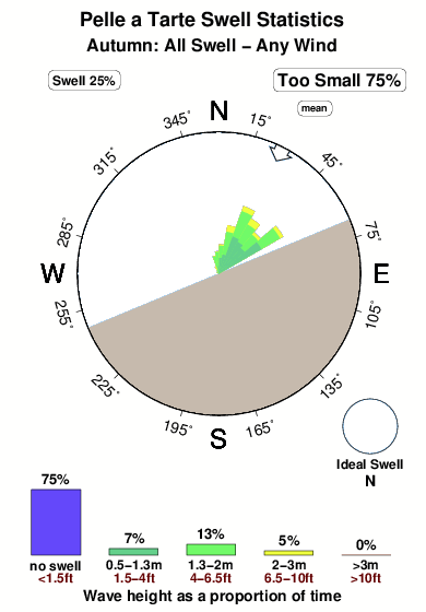
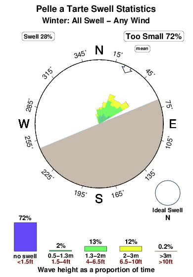
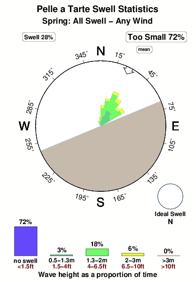
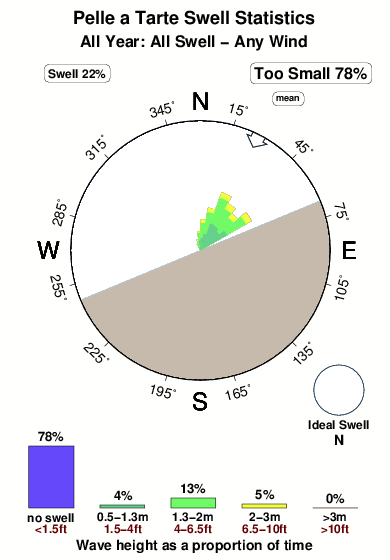
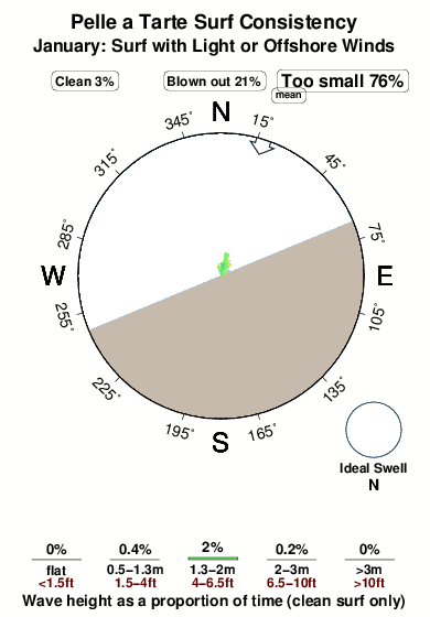
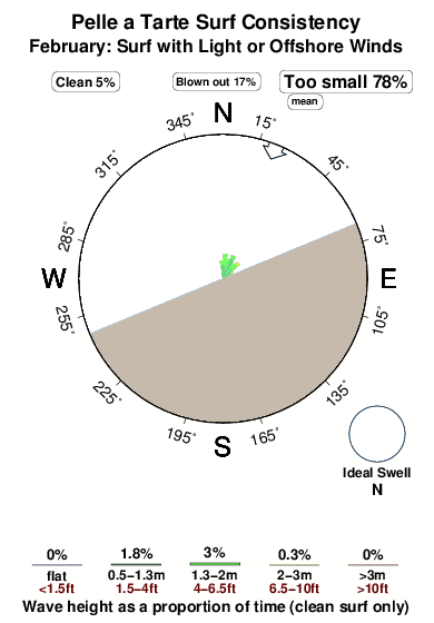
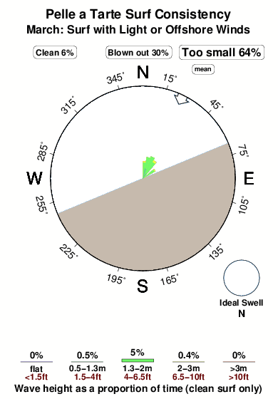
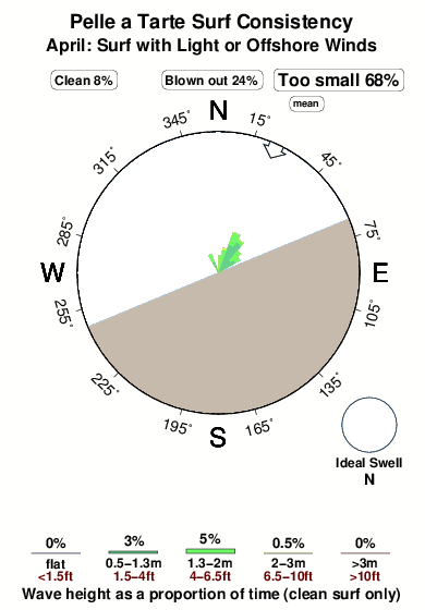
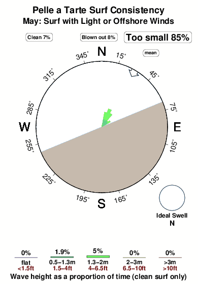
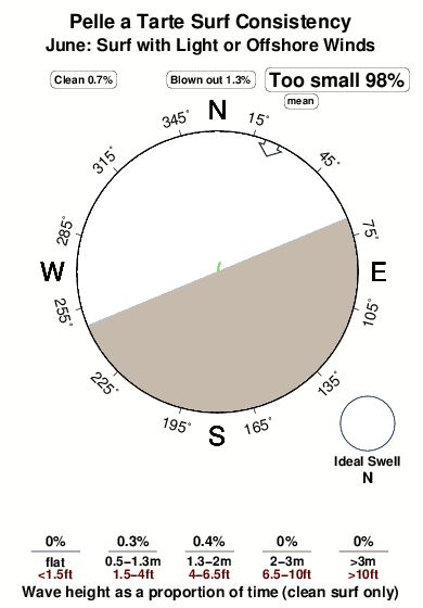
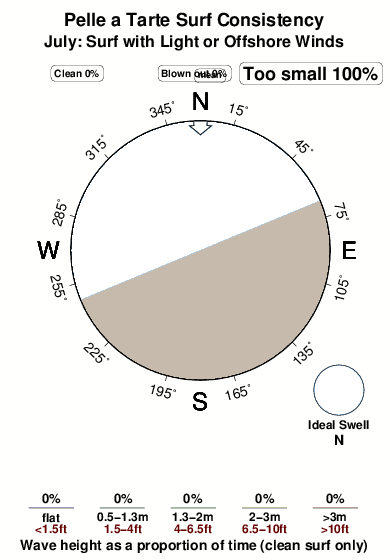
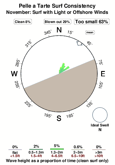
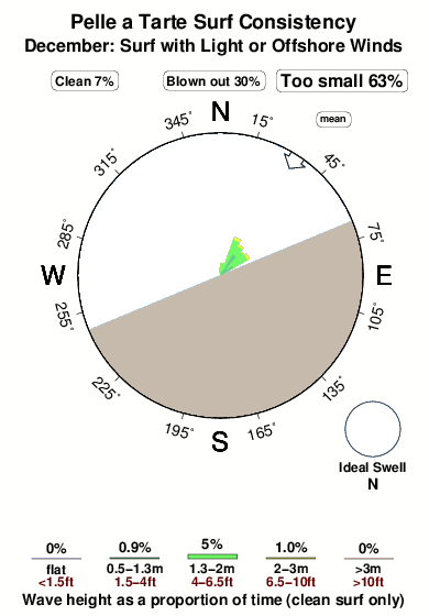
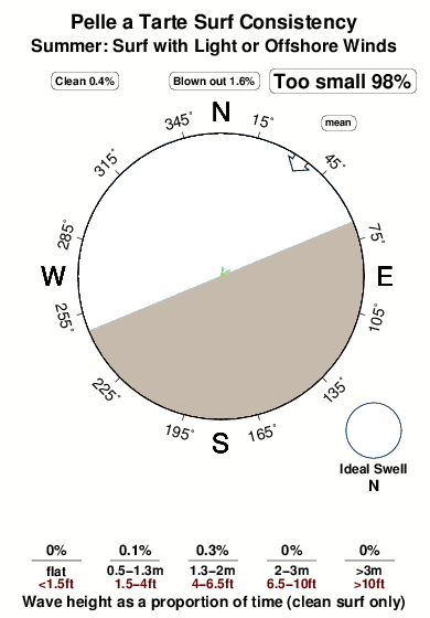
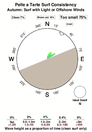
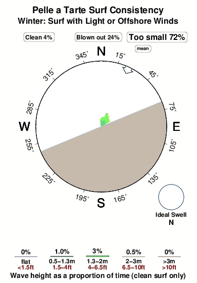
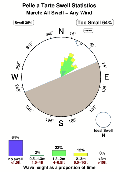
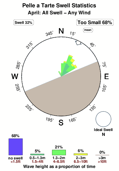
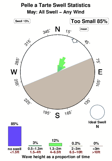
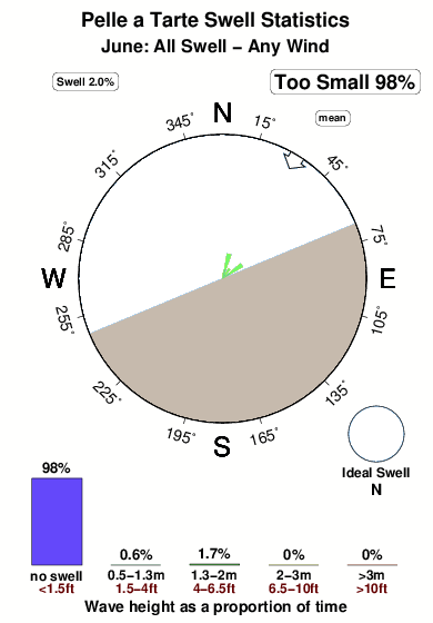
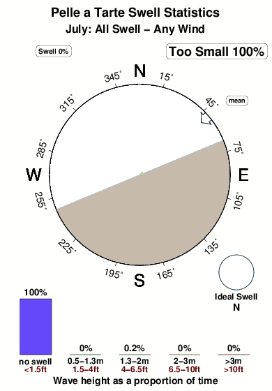
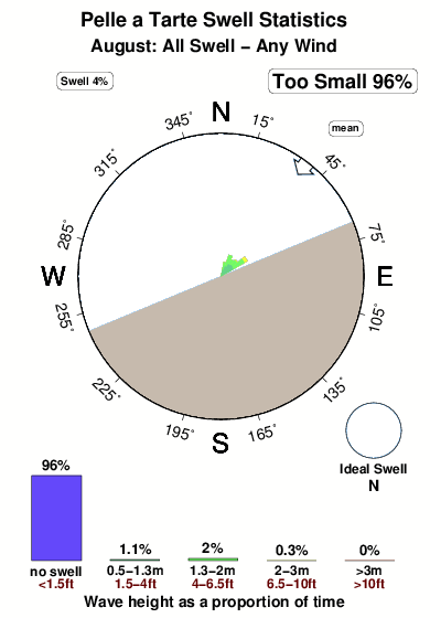
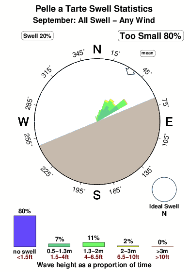
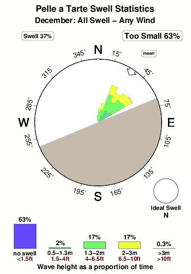
The figure describes the range of swells directed at Pelle a Tarte over a normal November, based on 3107 NWW3 model predictions since 2006 (values every 3 hours). The wave model does not forecast wind and surf right at the coastline so we have chosen the most applicable grid node based on what we know about Pelle a Tarte. In the case of Pelle a Tarte, the best grid node is 28 km away (17 miles). The rose diagram shows the distribution of swell sizes and directions, while the graph at the bottom shows the same thing without direction information. Five colours illustrate increasing wave sizes. Blue shows the smallest swells, less that 0.5m (1.5 feet) high. These were forecast only 63% of the time. Green and yellow represent increasing swell sizes and red illustrates the highest swells, greater than >3m (>10ft). In either graph, the area of any colour is proportional to how commonly that size swell occurs. The diagram implies that the most common swell direction, shown by the largest spokes, was NNE, whereas the the dominant wind blows from the E. Because the wave model grid is away from the coast, sometimes a strong offshore wind blows largest waves away from Pelle a Tarte and out to sea. We combine these with the no surf category of the bar chart. To avoid confusion we don't show these in the rose plot. Because wind determines whether or not waves are good for surfing at Pelle a Tarte, you can view an alternative image that shows only the swells that were predicted to coincide with glassy or offshore wind conditions. During a typical November, swells large enough to cause clean enough to surf waves at Pelle a Tarte run for about 37% of the time.


 Nearest