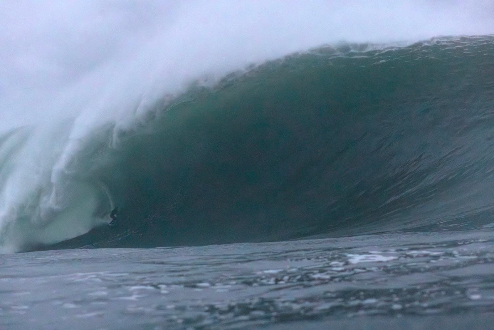
Europe’s Wet, Winter Wave Wrap Up
Precipitation in Portugal, rain in Spain, barrels in Britain and some magical moments in Mully, the Med, Morocco and Mundaka.
Surf Forecasts:

The current surf forecast for Papara Beach at 1PM is: 1.0m 8s primary swell from a East-southeast direction and 0.5m 9s secondary swell from a South direction (forecast issued at 07:00am March 03). The wind direction is predicted to be cross-shore.
| Time (-10) & Date | Wave Height | Wave Period |
|---|---|---|
| Morning (03 Mar) | 3.5ft (1.0m) | 8s |
| Afternoon (03 Mar) | 3ft (0.9m) | 8s |
| Evening (03 Mar) | 1.5ft (0.5m) | 16s |
Table - waves today at Papara Beach. (Swell directed towards the surf break)
Tuesday 03 | Wednesday 04 | Thursday 05 | Fri 06 | |||||||||||||||||||||
| 5 AM | 8 AM | 11 AM | 2 PM | 5 PM | 8 PM | 11 PM | 2 AM | 5 AM | 8 AM | 11 AM | 2 PM | 5 PM | 8 PM | 11 PM | 2 AM | 5 AM | 8 AM | 11 AM | 2 PM | 5 PM | 8 PM | 11 PM | 2 AM | |
Rating (10 max) | ||||||||||||||||||||||||
Swell Height Map |    |    |    |    | ||||||||||||||||||||
| Wave Height (m) & direction (?) | ||||||||||||||||||||||||
| Period(s) (?) | 8 | 8 | 8 | 8 | 8 | 16 | 16 | 15 | 15 | 13 | 13 | 13 | 12 | 12 | 12 | 13 | 13 | 13 | 14 | 15 | 15 | 14 | 14 | 14 |
Wave (?)Graph | ||||||||||||||||||||||||
| 140 | 137 | 137 | 133 | 116 | 149 | 198 | 246 | 242 | 187 | 184 | 135 | 115 | 115 | 109 | 85 | 116 | 118 | 211 | 148 | 146 | 362 | 362 | 425 | |
Wind (km/h) | ||||||||||||||||||||||||
| Wind State (?) onshore cross-onshore cross-shore cross-offshore offshore glassy | cross | cross | cross | cross- off | cross- off | cross- off | cross- off | cross- off | off | off | off | cross- off | cross- off | cross- off | cross- off | cross- off | cross- off | cross- off | cross- off | cross- off | cross | cross | cross | cross |
High Tide / height (m) | 12:35PM 0.38 | 12:50AM 0.41 | 12:56PM 0.39 | 1:14AM 0.40 | 1:16PM 0.38 | 1:35AM 0.38 | ||||||||||||||||||
Low Tide / height (m) | 6:39AM -0.00 | 6:41PM -0.01 | 7:01AM 0.01 | 7:04PM -0.01 | 7:20AM 0.03 | 7:27PM 0.00 | ||||||||||||||||||
Tuesday 03 | Wednesday 04 | Thursday 05 | Fri 06 | |||||||||||||||||||||
| Sunrise | - | 5:56 | - | - | - | - | - | - | - | 5:56 | - | - | - | - | - | - | - | 5:58 | - | - | - | - | - | - |
| Sunset | - | - | - | - | 6:21 | - | - | - | - | - | - | - | 6:21 | - | - | - | - | - | - | - | 6:20 | - | - | - |
Rain (mm) | 1 | 1 | 1 | 1 | 3 | 2 | 1 | 1 | 3 | 4 | 1 | 1 | - | - | 1 | - | 1 | 1 | - | - | - | - | - | 1 |
| Temp. °C | 27 | 27 | 27 | 27 | 27 | 27 | 27 | 27 | 27 | 28 | 28 | 28 | 28 | 28 | 28 | 29 | 28 | 28 | 28 | 27 | 28 | 28 | 28 | 28 |
| Feels °C (?) | 27 | 27 | 27 | 27 | 28 | 28 | 28 | 28 | 27 | 27 | 27 | 28 | 29 | 28 | 27 | 29 | 28 | 28 | 28 | 27 | 28 | 28 | 29 | 27 |
Precipitation in Portugal, rain in Spain, barrels in Britain and some magical moments in Mully, the Med, Morocco and Mundaka.

Surf road trips just got even better. Surf-Forecast users can now save up to 20% on SIXT rental cars worldwide during the promotional period until March 31, 2026. Whether you’re planning a legendary California road trip, chasing waves along Europe’s coasts, or exploring remote surf destinations, this exclusive SIXT offer helps you travel smarter and cheaper. And if you want some inspiration on where to go, check out our article Five Iconic Surf Road Trips. Click and get your SIXT discount
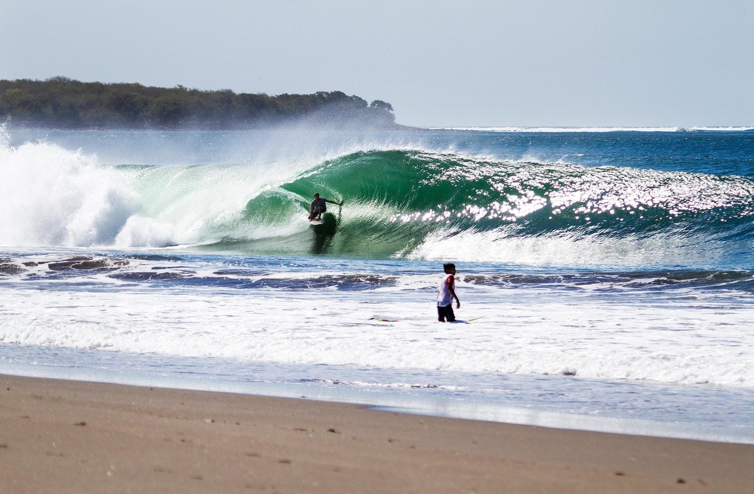
Our historical stats breakdown what waves are offshore almost all the time.
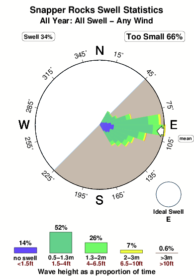
Huntington, Dribbleton, Virginia, Holland and the Superbank! We recently had a look at the world’s most consistent waves. This was based on the combination of swells and wind directed at 7,000 surf spots, as compiled from our data since 2006. Those stats, represented in easy-to-read graphics, are located under each wave’s spot guides, with historical swell and wind breakdowns available by month, season, and year. There is also an offshore filter, which shows how often the swells come with clean
Discover more articles and updates in the Greenroom.
The surf report / weather widget below is available to embed on third party websites free of charge and provides a summary of our Papara Beach surf forecast. Simply grab the html code snippet that we provide and paste it into your own site. You can choose your preferred language and metric/imperial units for the surf forecast feed to suit users of your site. Click here to get the code.
 Nearest