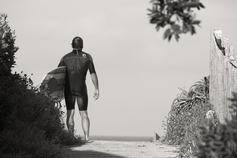
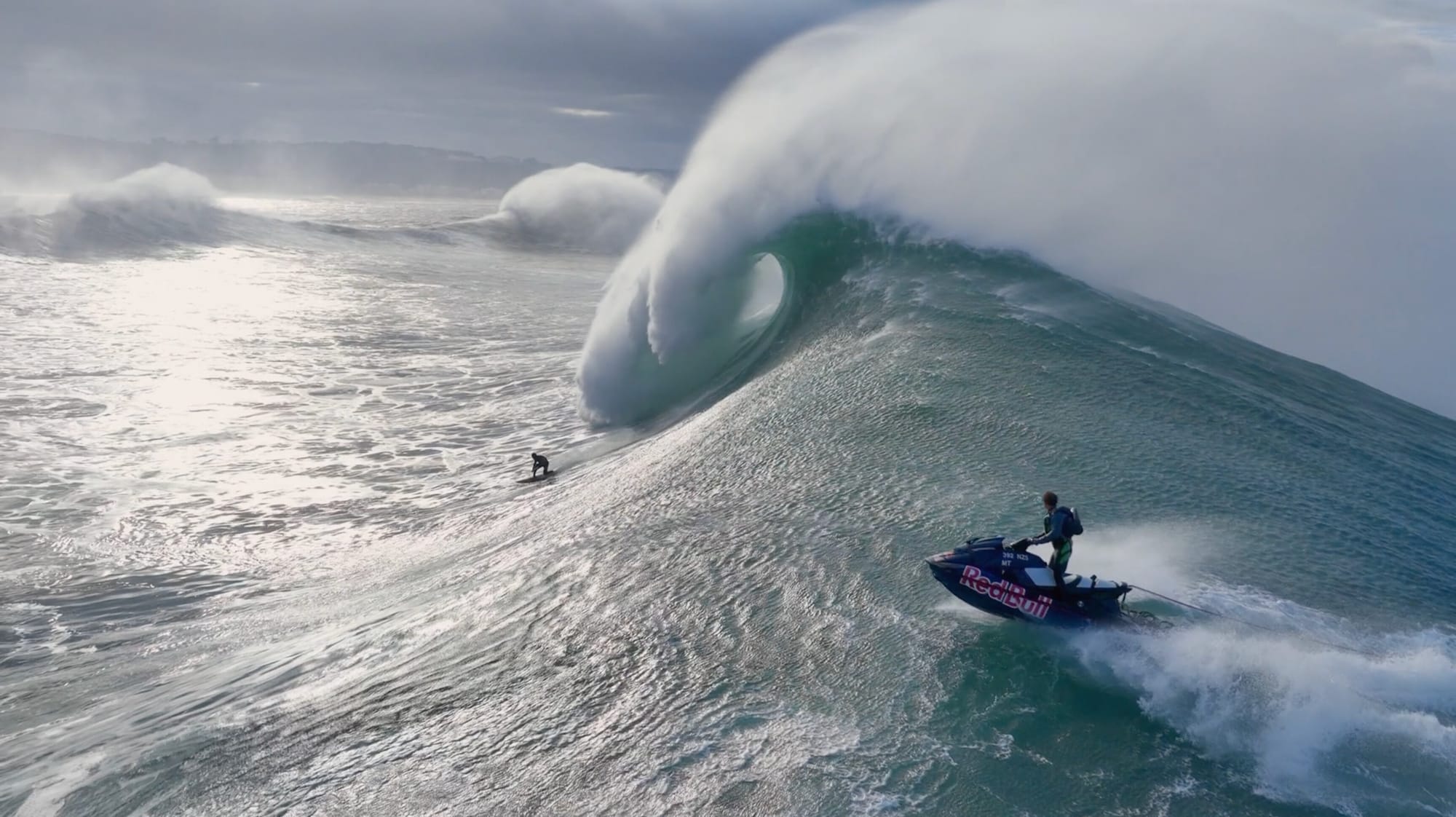
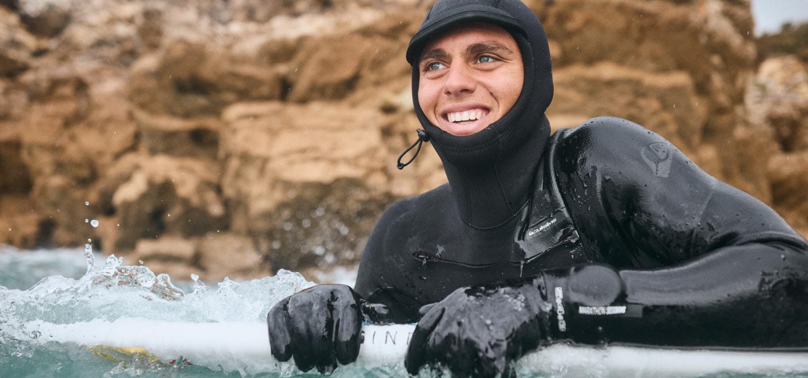
Nazare Big Wave Challenge Gets Yellow Alert, Could Run Saturday in Giant Waves
70-foot plus waves predicted for Portuguese big wave tow surfing competition.
Surf Forecasts:

The current surf forecast for Pataua at 9PM is: 0.6m 8s primary swell from a East-northeast direction and 0.3m 13s secondary swell from a North direction (forecast issued at 06:00pm December 17). An open ocean swell of 0.7m 4s is not directed at the surf break. The wind direction is predicted to be offshore.
| Time (NZDT) & Date | Wave Height | Wave Period |
|---|---|---|
| Morning (17 Dec) | - | - |
| Afternoon (17 Dec) | 2.5ft (0.7m) | 8s |
| Evening (17 Dec) | 2ft (0.6m) | 8s |
Table - waves today at Pataua. (Swell directed towards the surf break)
Wednesday 17 | Thursday 18 | Friday 19 | Saturday 20 | |||||||||||||||||||||
| 4 PM | 7 PM | 10 PM | 1 AM | 4 AM | 7 AM | 10 AM | 1 PM | 4 PM | 7 PM | 10 PM | 1 AM | 4 AM | 7 AM | 10 AM | 1 PM | 4 PM | 7 PM | 10 PM | 1 AM | 4 AM | 7 AM | 10 AM | 1 PM | |
Rating (10 max) | ||||||||||||||||||||||||
Swell Height Map |    |    |    |    | ||||||||||||||||||||
| Wave Height (m) & direction (?) | ||||||||||||||||||||||||
| Period(s) (?) | 8 | 8 | 8 | 9 | 9 | 8 | 8 | 12 | 12 | 8 | 8 | 8 | 8 | 8 | 16 | 15 | 15 | 15 | 15 | 15 | 15 | 15 | 14 | 14 |
Wave (?)Graph | ||||||||||||||||||||||||
| 60 | 63 | 43 | 80 | 39 | 52 | 53 | 51 | 50 | 48 | 47 | 46 | 46 | 46 | 80 | 72 | 70 | 69 | 107 | 109 | 109 | 104 | 97 | 95 | |
Wind (km/h) | ||||||||||||||||||||||||
| Wind State (?) onshore cross-onshore cross-shore cross-offshore offshore glassy | off | off | off | cross- off | cross- off | cross- off | off | off | cross- off | cross- off | off | cross- off | cross- off | cross- off | cross- off | cross- off | cross- off | cross- off | cross- off | cross | cross- off | cross- off | cross- off | off |
High Tide / height (m) | 6:18PM 1.72 | 6:58AM 1.80 | 7:04PM 1.74 | 7:41AM 1.85 | 7:48PM 1.77 | 8:24AM 1.90 | ||||||||||||||||||
Low Tide / height (m) | 12:36AM 0.38 | 1:05PM 0.55 | 1:20AM 0.35 | 1:51PM 0.51 | 2:03AM 0.32 | |||||||||||||||||||
Wednesday 17 | Thursday 18 | Friday 19 | Saturday 20 | |||||||||||||||||||||
| Sunrise | - | - | - | - | - | 6:00 | - | - | - | - | - | - | - | 6:01 | - | - | - | - | - | - | - | 6:01 | - | - |
| Sunset | - | 8:34 | - | - | - | - | - | - | - | 8:35 | - | - | - | - | - | - | - | 8:35 | - | - | - | - | - | - |
Rain (mm) | - | - | - | - | - | - | - | - | - | - | - | - | - | - | - | - | - | - | - | - | - | - | 1 | - |
| Temp. °C | 18 | 18 | 16 | 14 | 14 | 15 | 17 | 19 | 20 | 18 | 16 | 15 | 14 | 15 | 19 | 21 | 23 | 21 | 18 | 17 | 17 | 18 | 19 | 22 |
| Feels °C (?) | 13 | 12 | 13 | 11 | 11 | 12 | 14 | 16 | 18 | 17 | 14 | 13 | 12 | 14 | 17 | 19 | 20 | 18 | 16 | 15 | 15 | 16 | 17 | 19 |
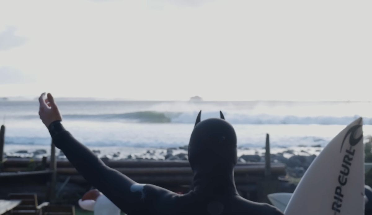
70-foot plus waves predicted for Portuguese big wave tow surfing competition.
Surf-forecast is providing a free, all-access pass to our premium features and 12-day forecasts all weekend.
Previously used in our snow jackets for mountain conditions, PrimaLoft® technology is making its debut in the surf industry. The aim is to bring mountain-grade warmth to the waves.
Surf-Forecast recently helped the 21-year-old Canadian pro surfer and adventurer score some cold water perfection at home.
Discover more articles and updates in the Greenroom.
The surf report / weather widget below is available to embed on third party websites free of charge and provides a summary of our Pataua surf forecast. Simply grab the html code snippet that we provide and paste it into your own site. You can choose your preferred language and metric/imperial units for the surf forecast feed to suit users of your site. Click here to get the code.
 Nearest