


Save Up to 20% on SIXT Rental Cars Worldwide – Exclusive Surf-Forecast Deal
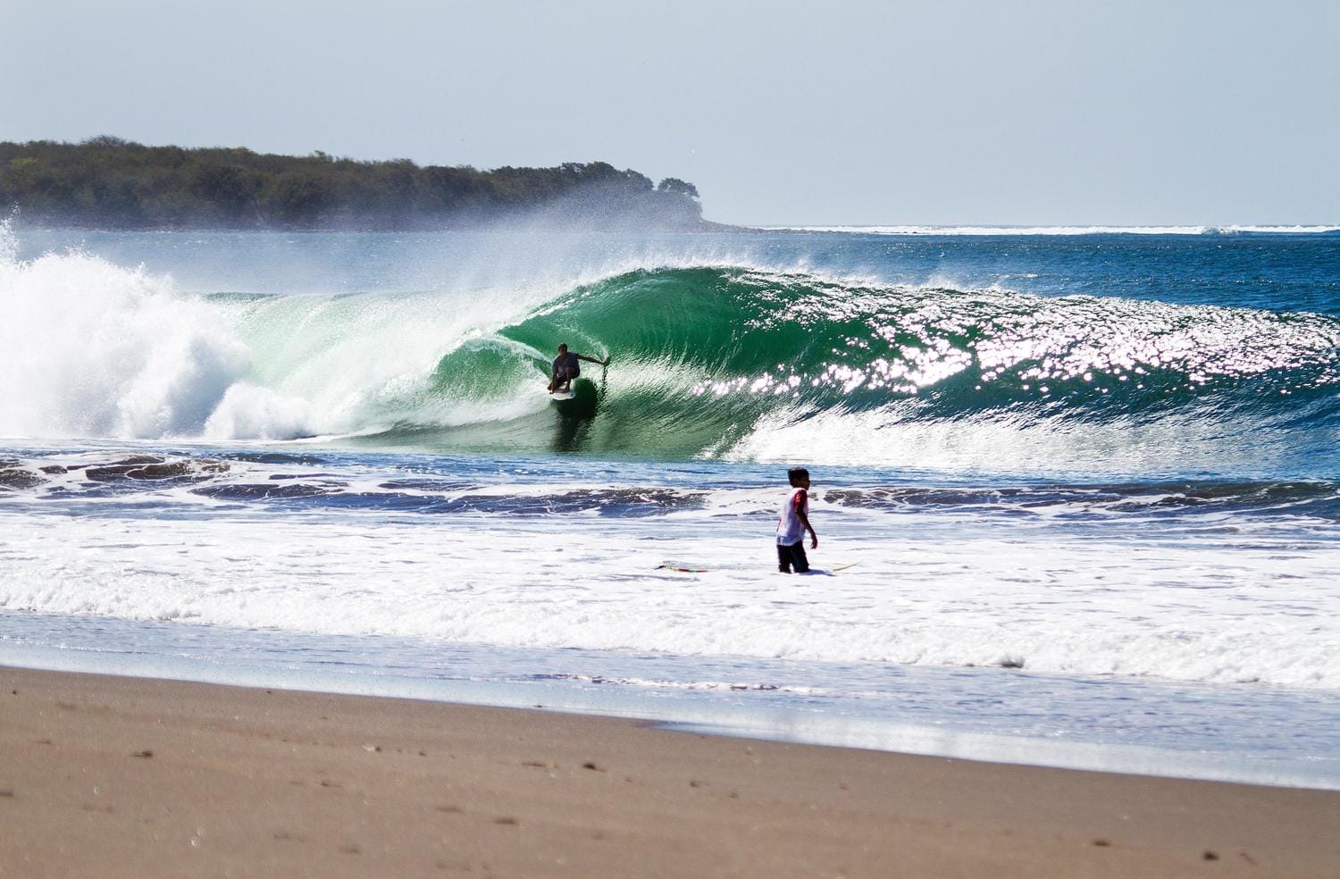
Surf road trips just got even better. Surf-Forecast users can now save up to 20% on SIXT rental cars worldwide during the promotional period until March 31, 2026. Whether you’re planning a legendary California road trip, chasing waves along Europe’s coasts, or exploring remote surf destinations, this exclusive SIXT offer helps you travel smarter and cheaper. And if you want some inspiration on where to go, check out our article Five Iconic Surf Road Trips. Click and get your SIXT discount
 Nearest