Using Surf-Forecast’s Historical Surf Data To Find The Most Consistent Waves On Earth
Using our statistical data for 7000 spots dating back to 2006, we can find those waves that break the most, with the best winds.
Surf Forecasts:

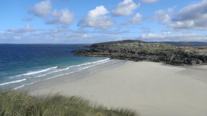
The current surf forecast for Doonloughan at 9PM is: 1.1m 17s primary swell from a West-northwest direction (forecast issued at 05:00pm December 20). An open ocean swell of 4.0m 15s is not directed at the surf break, a second open ocean swell of 1.4m 10s is not directed at the surf break. The wind direction is predicted to be cross-onshore.
| Time (IST) & Date | Wave Height | Wave Period |
|---|---|---|
| Morning (20 Dec) | - | - |
| Afternoon (20 Dec) | - | - |
| Evening (20 Dec) | 3.5ft (1.1m) | 17s |
Table - waves today at Doonloughan. (Swell directed towards the surf break)
Saturday 20 | Sunday 21 | Monday 22 | Tuesday 23 | |||||||||||||||||||||
| 3 PM | 6 PM | 9 PM | 0 AM | 3 AM | 6 AM | 9 AM | 12 PM | 3 PM | 6 PM | 9 PM | 0 AM | 3 AM | 6 AM | 9 AM | 12 PM | 3 PM | 6 PM | 9 PM | 0 AM | 3 AM | 6 AM | 9 AM | 12 PM | |
Rating (10 max) | ||||||||||||||||||||||||
Swell Height Map |    |    |    |    | ||||||||||||||||||||
| Wave Height (m) & direction (?) | ||||||||||||||||||||||||
| Period(s) (?) | 12 | 12 | 17 | 16 | 16 | 16 | 16 | 16 | 15 | 14 | 14 | 13 | 13 | 13 | 12 | 12 | 12 | 11 | 11 | 11 | 10 | 14 | 14 | 13 |
Wave (?)Graph | ||||||||||||||||||||||||
| 0 | 0 | 634 | 0 | 0 | 13769 | 11831 | 10173 | 7853 | 6336 | 5187 | 3662 | 2884 | 2334 | 1790 | 1469 | 1154 | 866 | 291 | 265 | 486 | 1835 | 2898 | 3242 | |
Wind (km/h) | ||||||||||||||||||||||||
| Wind State (?) onshore cross-onshore cross-shore cross-offshore offshore glassy | cross- off | cross | cross- on | on | on | cross- on | cross- off | cross- off | cross- off | off | cross- off | cross- off | cross | cross | glass | glass | on | glass | on | on | cross- on | cross- on | cross- on | cross- on |
High Tide / height (m) | 5:51PM 3.24 | 6:00AM 3.60 | 6:27PM 3.23 | 6:36AM 3.62 | 7:03PM 3.18 | 7:11AM 3.59 | ||||||||||||||||||
Low Tide / height (m) | 11:42PM 0.74 | 12:15PM 0.53 | 12:16AM 0.73 | 12:51PM 0.52 | 12:50AM 0.76 | |||||||||||||||||||
Saturday 20 | Sunday 21 | Monday 22 | Tuesday 23 | |||||||||||||||||||||
| Sunrise | - | - | - | - | - | - | 8:52 | - | - | - | - | - | - | - | 8:53 | - | - | - | - | - | - | - | 8:53 | - |
| Sunset | 4:22 | - | - | - | - | - | - | - | 4:22 | - | - | - | - | - | - | - | 4:22 | - | - | - | - | - | - | - |
Rain (mm) | - | - | - | - | - | - | - | - | - | - | - | - | - | - | - | - | - | - | - | - | - | - | - | - |
| Temp. °C | 9 | 8 | 9 | 8 | 9 | 9 | 8 | 8 | 8 | 7 | 6 | 7 | 7 | 7 | 8 | 9 | 9 | 9 | 9 | 9 | 9 | 9 | 9 | 9 |
| Feels °C (?) | -2 | 0 | 3 | 4 | 5 | 5 | 4 | 5 | 4 | 3 | 2 | 4 | 4 | 4 | 6 | 7 | 6 | 7 | 7 | 7 | 6 | 4 | 3 | 2 |
Using our statistical data for 7000 spots dating back to 2006, we can find those waves that break the most, with the best winds.
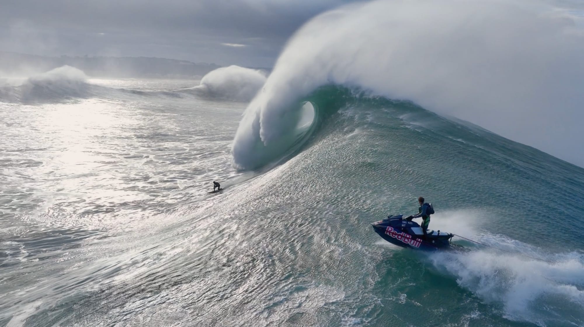
70-foot plus waves predicted for Portuguese big wave tow surfing competition.
Surf-forecast is providing a free, all-access pass to our premium features and 12-day forecasts all weekend.

Previously used in our snow jackets for mountain conditions, PrimaLoft® technology is making its debut in the surf industry. The aim is to bring mountain-grade warmth to the waves.
Discover more articles and updates in the Greenroom.
The surf report / weather widget below is available to embed on third party websites free of charge and provides a summary of our Doonloughan surf forecast. Simply grab the html code snippet that we provide and paste it into your own site. You can choose your preferred language and metric/imperial units for the surf forecast feed to suit users of your site. Click here to get the code.
 Nearest