Buy Less, Surf More This Black Friday
Surf-forecast is providing a free, all-access pass to our premium features and 12-day forecasts all weekend.
Surf Forecasts:

The current surf forecast for Cap Ferret at 7PM is: 3.0m 14s primary swell from a West direction (forecast issued at 12:00pm December 03). The wind direction is predicted to be onshore.
| Time (CET) & Date | Wave Height | Wave Period |
|---|---|---|
| Morning (03 Dec) | 10ft (3.0m) | 15s |
| Afternoon (03 Dec) | 8ft (2.5m) | 14s |
| Evening (03 Dec) | 10ft (3.0m) | 14s |
Table - waves today at Cap Ferret. (Swell directed towards the surf break)
Wednesday 03 | Thursday 04 | Friday 05 | Saturday 06 | |||||||||||||||||||||
| 10 AM | 1 PM | 4 PM | 7 PM | 10 PM | 1 AM | 4 AM | 7 AM | 10 AM | 1 PM | 4 PM | 7 PM | 10 PM | 1 AM | 4 AM | 7 AM | 10 AM | 1 PM | 4 PM | 7 PM | 10 PM | 1 AM | 4 AM | 7 AM | |
Rating (10 max) | ||||||||||||||||||||||||
Swell Height Map |    |    |    |    | ||||||||||||||||||||
| Wave Height (m) & direction (?) | ||||||||||||||||||||||||
| Period(s) (?) | 15 | 14 | 14 | 14 | 14 | 14 | 13 | 13 | 12 | 12 | 12 | 12 | 12 | 12 | 12 | 13 | 13 | 14 | 14 | 14 | 14 | 14 | 13 | 12 |
Wave (?)Graph | ||||||||||||||||||||||||
| 3665 | 3066 | 3244 | 3472 | 3376 | 3187 | 2774 | 3621 | 3310 | 2804 | 2687 | 2777 | 2597 | 2767 | 2958 | 2999 | 2846 | 2930 | 2733 | 2534 | 2261 | 2484 | 2640 | 2209 | |
Wind (km/h) | ||||||||||||||||||||||||
| Wind State (?) onshore cross-onshore cross-shore cross-offshore offshore glassy | on | on | on | on | on | on | cross- on | on | cross- on | on | on | on | cross- on | cross- on | cross- on | cross- on | on | cross- on | cross | cross | cross- on | cross- on | on | on |
High Tide / height (m) | 2:54PM 3.81 | 3:19AM 3.89 | 3:46PM 3.93 | 4:07AM 4.04 | 4:36PM 3.96 | 4:55AM 4.10 | ||||||||||||||||||
Low Tide / height (m) | 8:32AM 0.27 | 8:57PM 0.17 | 9:23AM 0.05 | 9:45PM 0.08 | 10:12AM -0.08 | 10:32PM 0.07 | ||||||||||||||||||
Wednesday 03 | Thursday 04 | Friday 05 | Saturday 06 | |||||||||||||||||||||
| Sunrise | - | - | - | - | - | - | - | - | 8:23 | - | - | - | - | - | - | - | 8:25 | - | - | - | - | - | - | - |
| Sunset | - | - | 5:24 | - | - | - | - | - | - | - | 5:24 | - | - | - | - | - | - | - | 5:24 | - | - | - | - | - |
Rain (mm) | - | 1 | 2 | 1 | 1 | 1 | 2 | 3 | 2 | 1 | 1 | 4 | 3 | 1 | 1 | - | - | - | 1 | 1 | 2 | 1 | 2 | 2 |
| Temp. °C | 13 | 13 | 13 | 13 | 13 | 13 | 11 | 13 | 12 | 13 | 12 | 11 | 12 | 11 | 12 | 12 | 12 | 11 | 11 | 12 | 16 | 16 | 15 | 15 |
| Feels °C (?) | 8 | 8 | 8 | 7 | 7 | 7 | 2 | 3 | 4 | 6 | 6 | 4 | 4 | 2 | 4 | 5 | 7 | 6 | 5 | 5 | 10 | 9 | 10 | 10 |
Surf-forecast is providing a free, all-access pass to our premium features and 12-day forecasts all weekend.
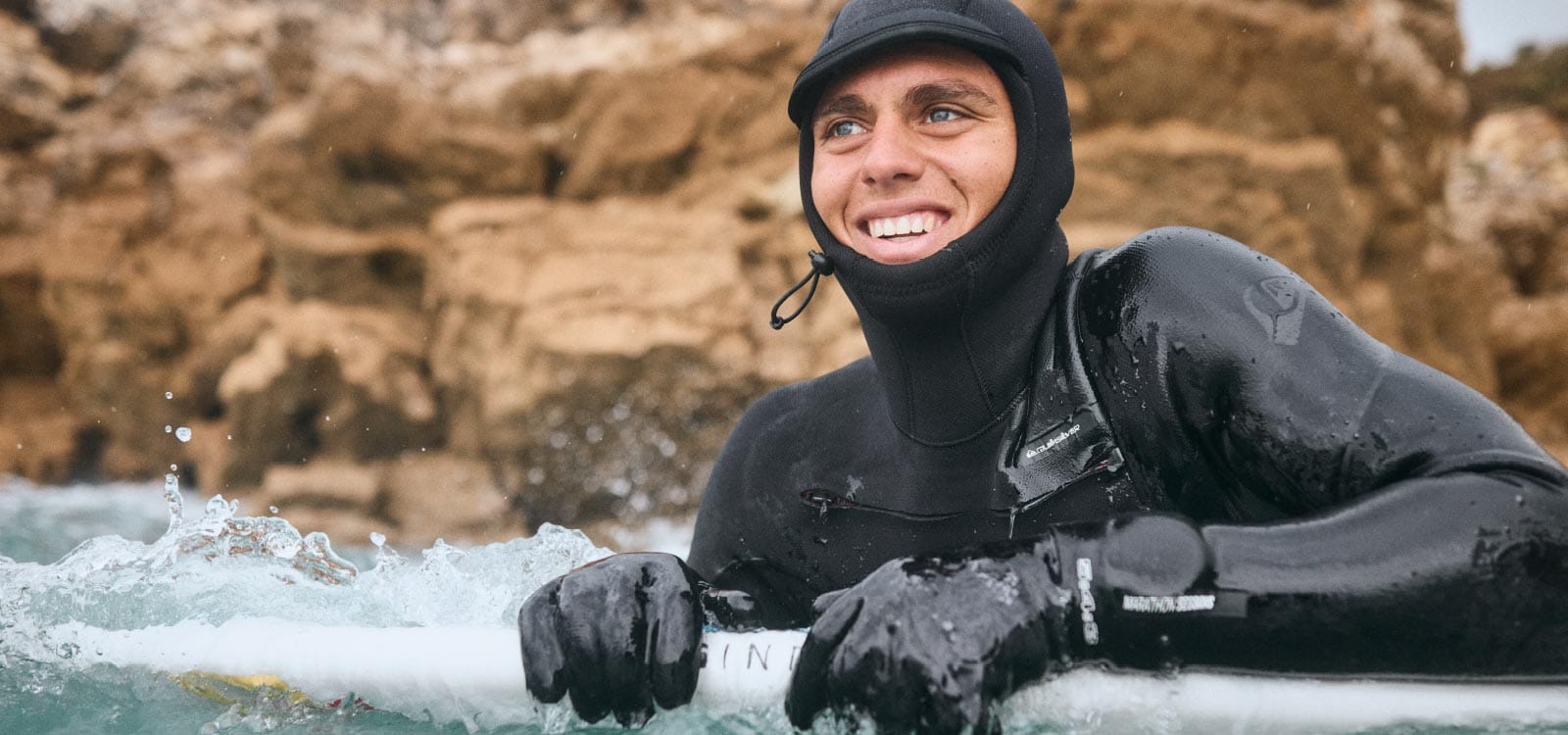
Previously used in our snow jackets for mountain conditions, PrimaLoft® technology is making its debut in the surf industry. The aim is to bring mountain-grade warmth to the waves.
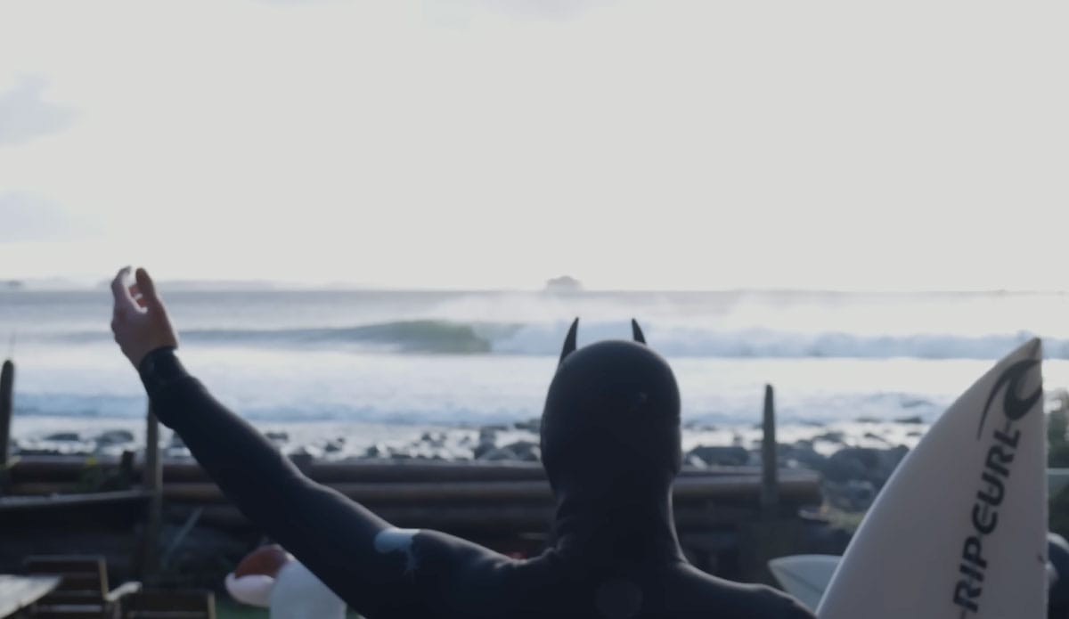
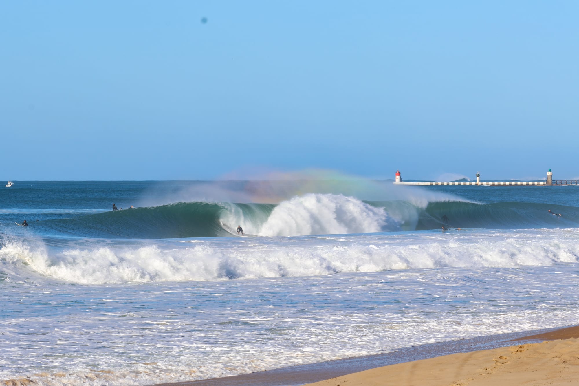
Surf-Forecast recently helped the 21-year-old Canadian pro surfer and adventurer score some cold water perfection at home.
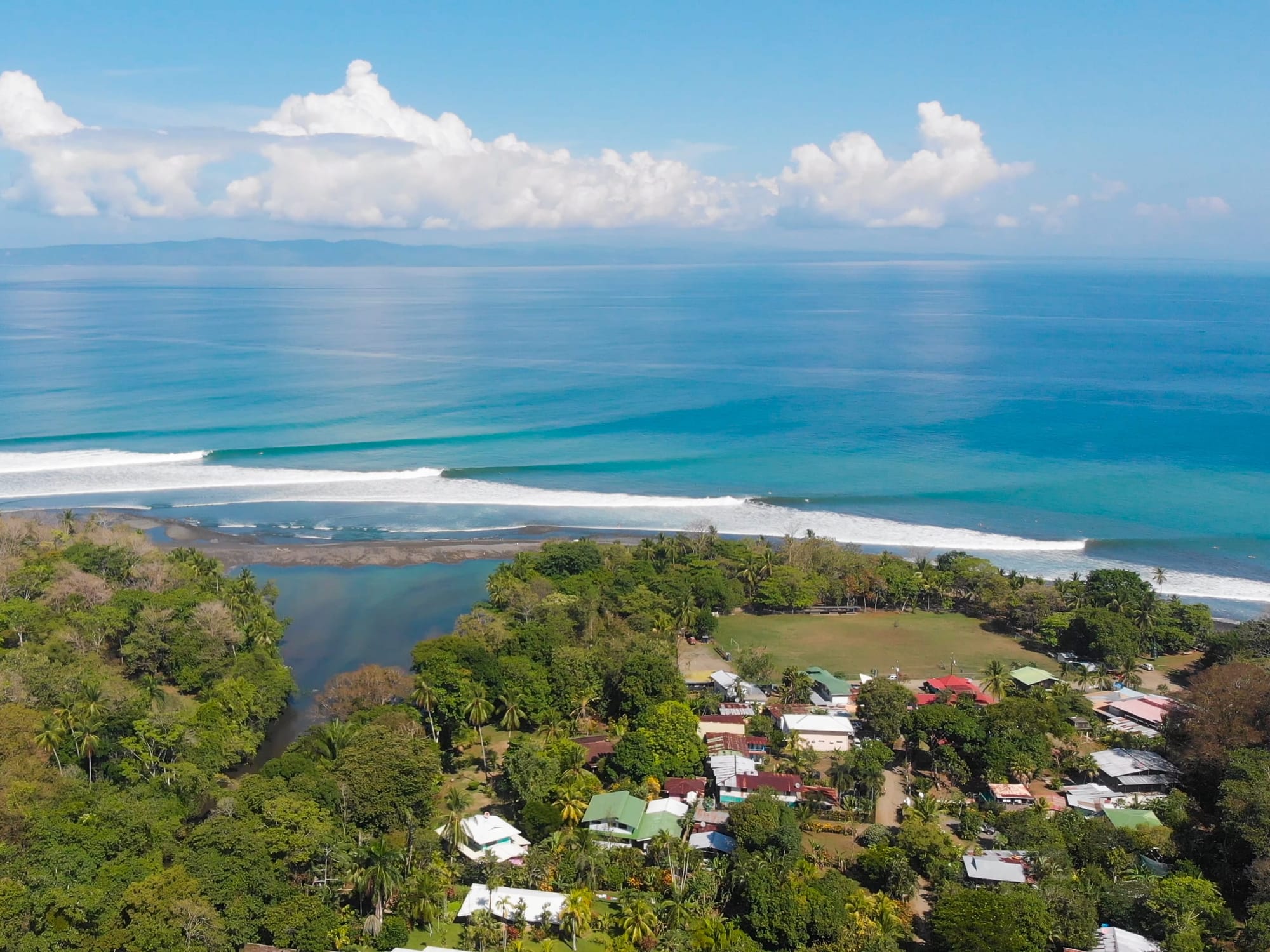
With or without a surfboard, Costa Rica is a bucket list destination that has shown what a nation is capable of when nature is put first.
Discover more articles and updates in the Greenroom.
The surf report / weather widget below is available to embed on third party websites free of charge and provides a summary of our Cap Ferret surf forecast. Simply grab the html code snippet that we provide and paste it into your own site. You can choose your preferred language and metric/imperial units for the surf forecast feed to suit users of your site. Click here to get the code.
 Nearest