Nambucca Heads Wind Stats
- Forecast
- Maps
- Live
- Weather State
- Spot Information
Wind Stats


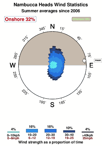
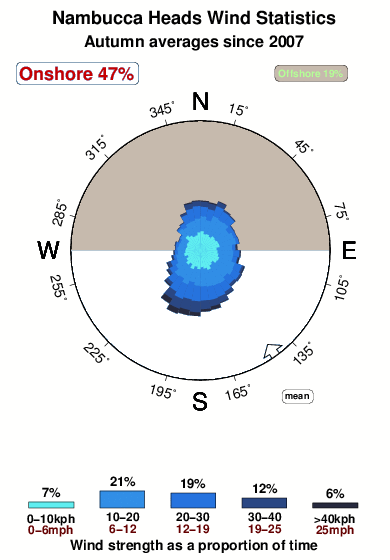
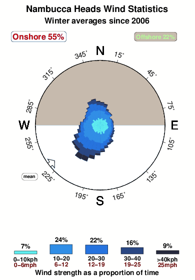
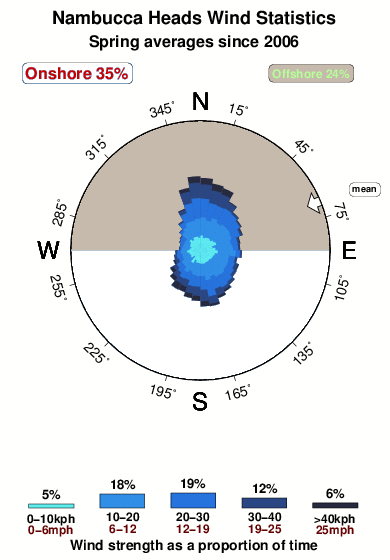
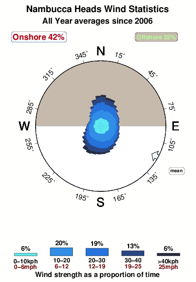
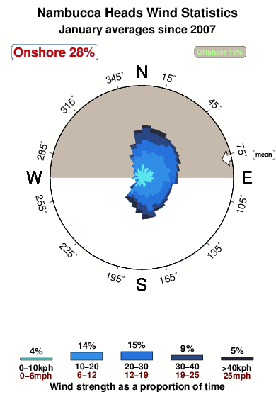
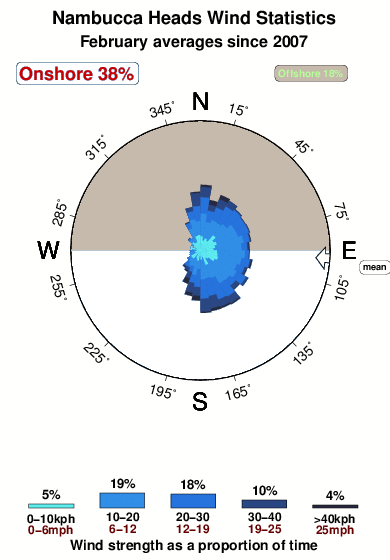
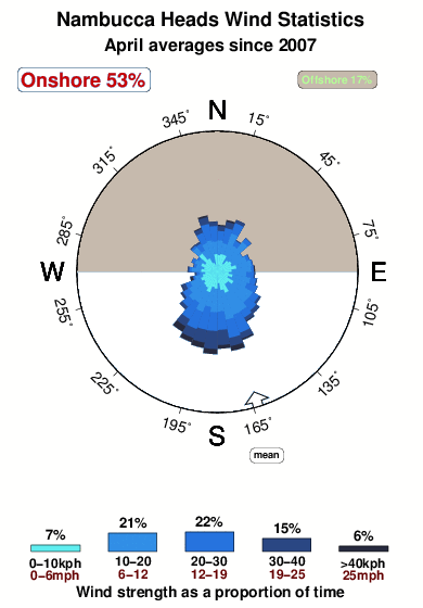
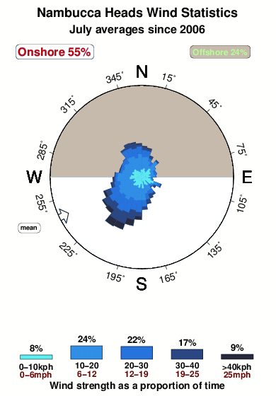
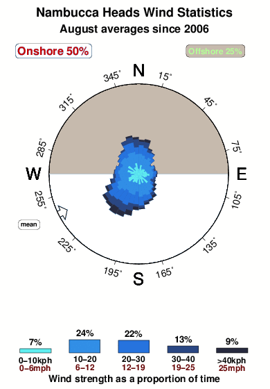
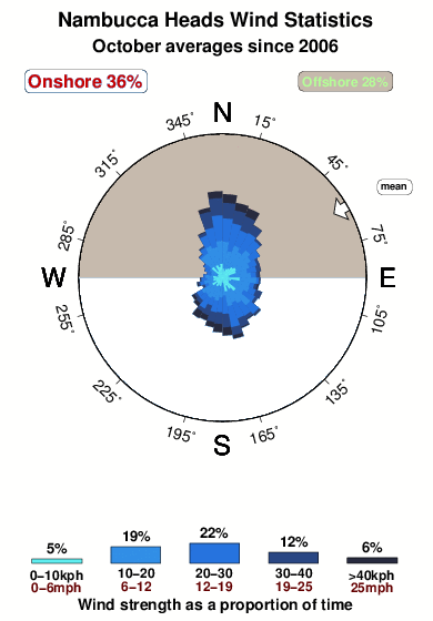
This image shows how often and how strongly the wind blows from different directions through a typical November. The longest spokes point in the directions the wind most commonly blows from and the shade of blue implies the strength, with the strongest winds shown by dark blue. It is based on 2867 NWW3 forecasts of wind since since 2006, at 3hr intervals, for the closest NWW3 model node to Nambucca Heads, located 45 km away (28 miles). There are insufficient recording stations world wide to use actual wind data. Without question some coastal places have very localized wind effects that would not be predicted by NWW3. According to the model, the most common wind at Nambucca Heads blows from the SSE. If the rose graph shows a fairly circular pattern, it means there is no strong bias in wind direction at Nambucca Heads. By contrast, dominant spokes represent favoured directions, and the more deep blue, the stronger the wind. Spokes point in the direction the wind blows from. Over an average November, the model suggests that winds are light enough for the sea to be glassy (the lightest shade of blue) about 4% of the time (1 days each November) and blows offshore just 25% of the time (8 days in an average November). In a typical November wind stronger than >40kph (25mph) was expected for only a single days at Nambucca Heads





 Nearest