Why Didn’t the 8.8 Kamchatka Earthquake Cause as Much Damage as The Boxing Day Tsunami of 2004?*
*A Tsunami Explainer by our Chief Surf Forecaster and Seismologist, Rob Davies.
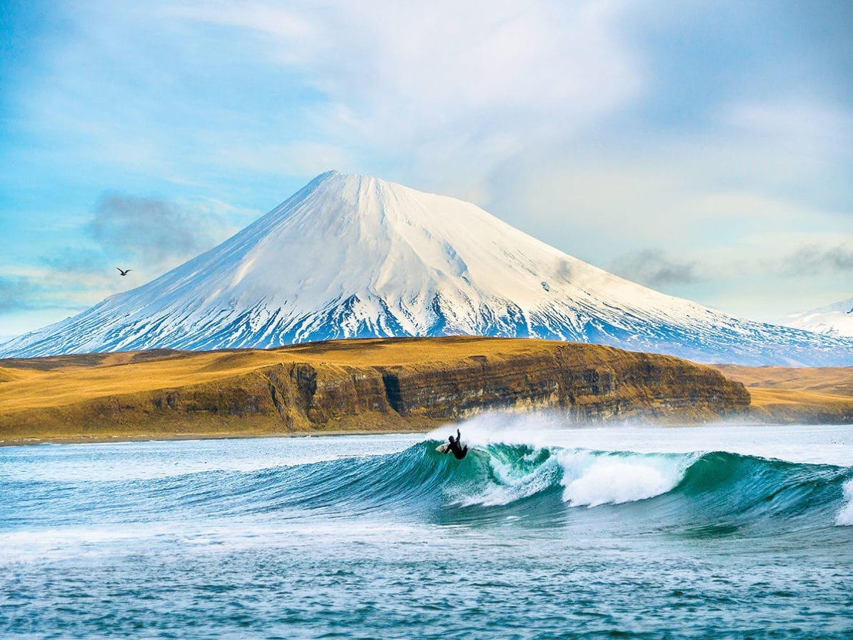
Our chief forecaster, Rob Davies (read his backstory “the best and least known surf forecaster in the world), had just packed his surfboards and snowboards in his van and was heading to Wanaka (with a plan to stop off for a surf in Tauranga Bay) when his phone pinged.
In New Zealand, every mobile phone had emitted an emergency alarm with a text message urging caution at the coast after an earthquake had been registered off the coast of Kamchatka in Russia.
As it was one of the most powerful earthquakes ever recorded, two million people across the Pacific were ordered to evacuate in Japan, Russia, and Hawaii. Alerts were also issued in China, the Philippines, Indonesia, New Zealand, and as far as Peru, Chile and Mexico. The concern was understandable.
In 2004, a Boxing Day earthquake with an epicentre in Indonesia and a magnitude of 9.2 led to a tsunami that claimed more than 200,000 lives and caused widespread destruction. A few days later, after the Kamchatka earthquake, we know now that this particular seismic event and the subsequent tsunami caused very little damage.
There was flooding in Russia and Japan, recordings of damage to harbours in Hawaii and California, and evidence of the tsunami hitting all the Pacific coasts. Yet no lives were lost. The question is why? Rob is in a good place to explain. The geophysicist’s research background was in earthquakes and tectonics, and the Welshman had moved to NZ, as it is “tsunami central”.
Yet he was quick to remind us that surf-forecast.com can’t add anything that national agencies don't already provide. They are always the most reliable source. Rob does though have enough seismic, science and surf chops to help explain why the latest mega earthquake didn’t cause more damage and why they are so hard to read. Here we break it down.
Predicting Tsunamis is Difficult
Tsunamis are generated mostly by earthquakes under the seabed in deep water. There is usually minimal nearby monitoring of the seismic waves and often zero monitoring of the actual seabed movements. It is the physical movement of the seabed that generates a tsunami, not the shaking as many people assume. Also, every earthquake is different. Some raise and/or lower vast areas of seabed and the water above, creating a tiny swell (a few inches in wave height) but with an effectively enormous period (minutes, not seconds). This means the wave’s energy is huge. Recording devices near Kamchatka had waves 2ft @ 32 minute period!
Tidal waves, or tsunamis, have nothing to do with tides, but in this key sense they overlap, coming roughly every 6 hours and also packing mind-boggling energy. Just as tides funnel up ocean-facing inlets and grow, so do tsunamis. This is where they are different from swells, which tend to drag on the sea-bed, refract into the sides, and fade away.
They Can Hit Different On Same Stretches of Coast
Western Super Mare near Bristol in the UK is a truly terrible surf destination, due to its extended shallow bathymetry, but while an Atlantic tsunami has the potential to be especially destructive here, it would hardly register in Cornwall. After the Alaskan earthquake in 1964, Hilo, on Hawaii’s Big Island, was hit by a 4m tsunami, yet the big wave spots nearby at Sunset and Waimea recorded no change. The height of the tsunami varies greatly along a coastline, even if the source was thousands of miles away.
So How Do They Measure and Predict A Tsunami Travelling at 500 mph?
The best researchers can generally do is to use the global network of seismograms to estimate the location (easy), timing (easy), and the scale of the earthquake (fairly easy). They also need the geometry of the fault. This is trickier as it is very hard to get sufficient detail quickly enough for modelling or detailed information about the deformation of the seabed, and any associated submarine landslides. So this information is generally absent. However, as the wave radiates out, ocean bottom pressure gauges, which tend to be located near the countries that can afford them like Japan, US, Australia and NZ, estimate the really small amplitude, but very long period and vast area of wave that passes above them at 500 miles per hour, or the speed of an airliner.
Eyeballs Remain The Best Measure of Height
The coverage of pressure gauges is poor to absent, and even with them, it remains difficult to measure a modest sub-metre bump in the ocean, typically a few kms above the gauge, against a background of tide and wind waves, swells, and air-pressure surges is difficult. Thus, height predictions are generally vague-to-absent, right up until the first actual coastal reports arrive. Even then, the land reports in one direction from the source are of limited use in telling you how big the wave will be in other directions.
The Russian Example
There were initial reports of waves up to 4 metres high on the coast of Russia, but that didn't tell us much about the wave heading towards Hawaii and California, apart from the fact that there probably was one. Would it be 10 cm or 5 m high? Researchers had little idea until it passed over the pressure gauges off the coast of California itself. The one thing that can be predicted is when the waves will start to arrive. That can be forecast to within the hour, over the width of the Pacific. The size, the main determinant in possible damage, however, remains a mystery until it hits.
The Prediction Tools Are Getting Better
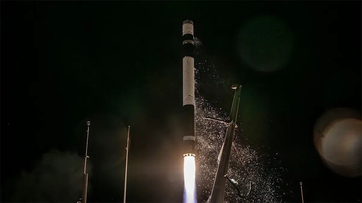
The good news is that just a few weeks ago, Rob was at the launch of a Japanese satellite called "The Sea God Sees". It is designed to observe the Earth's surface, including oceans, regardless of weather conditions or time of day. It aims to tackle exactly this problem of directly measuring the modest but wide change in the sea surface where a tsunami is still in deep water. The problem is the coverage. We need lots of these satellites for global real-time reporting. Imagine a Starlink set up, but for tsunami recording.
What’s The Current Method On Tsunami Warnings?
The policy is to quickly estimate the size, location, and time of an earthquake and then assume that everything else about it. Scientists will try an establish the worst-case scenario for an earthquake of that size in that location. There was every chance that the Kamchatka earthquake *could* have caused much bigger waves than occurred. For a variety of reasons, both known and unknown, the way the sea bed moved in space and time didn't provide the destructive walls of water of the similar magnitude Boxing Day Tsunami of 2004.
Or, we got lucky.