
British Norms Batten Down the Hatches, Surfers Wax Up the Guns as Storm Austen Approaches.
The UK and beyond are set for wild storms and even wilder waves.
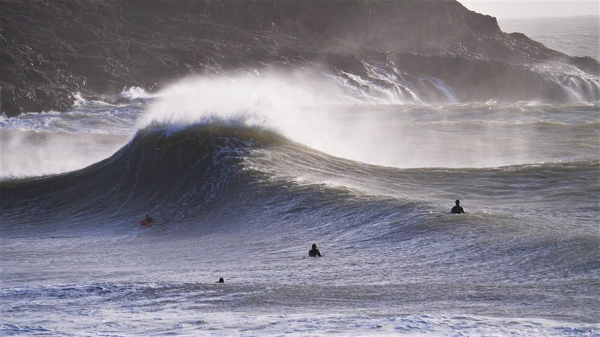
Earlier today, the Met Office officially named Storm Austen, which will hit UK shores come Friday. A yellow weather warning has been issued for the south-west from Friday morning.
For 99% of UK residents, the travel disruption and rain set to sweep in from Wednesday will be horrible. For school kids on their half-term holiday, it’s the first real wet patch before April that kicked off the driest summer in UK history.
For surfers though, the high numbers in the Atlantic and English Channel have set the WhatsApp groups humming. On Friday morning, we have Cornwall’s North Fistral with a massive 6.5 metre WNW swell, or 20 foot on the old scale, with a 12-second period, and energy above 11000. We’d be surprised if anyone is paddling out in the 60 km/h onshore winds, but some of the novelty nooks and crannies of the Cornish coast could be on for those a) in the know and b) silly enough to try and weather the storm.
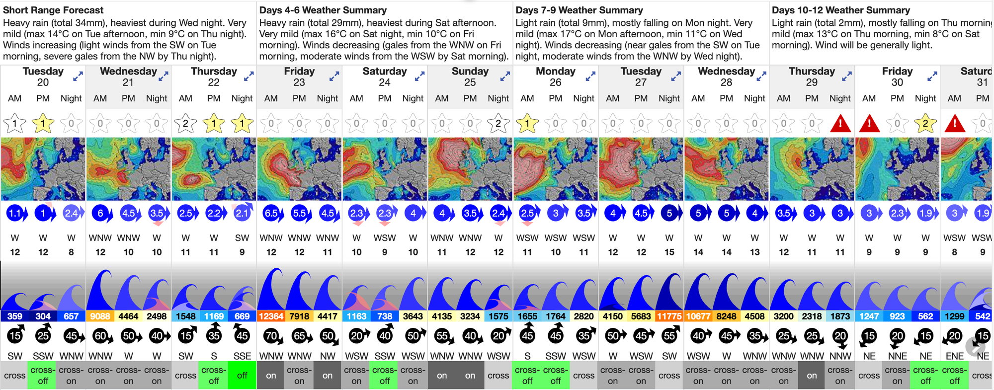
On the southern coasts, it’s equally wild and woolly. Even deep in the channel is getting smashed, with the west swell direction tracking up the narrow slice of grey water that separates the French Brittany and UK coasts. Wednesday sees an extremely rare 4m swell wrapped in a 60 km/h near-gale cross-shore. Sure, it will be blown out and ugly, but these are numbers the hardcore south coast surfers live for. Friday is similar, with even Brighton registering a potential 11-second period swell, about as long-range as that coast gets. Again, anywhere sheltered from a wind that will be blowing dogs off chains will have waves of rare size and power for this part of the world. The Hotpipe Hillbillies will be over it.
Then, just as the clean-up begins, another as-yet-unnamed storm follows a similar pattern and smashes into the British Isles early next week. Up in the Hebrides, there’s a record 9 metre swell due to hit the remote islands on Sunday, with energy over 30,000 kJ. A few days later Mullaghmore goes XL, with 5.5 metre, 16-second west swell, wrapped in gale-force west winds. Local tow teams will be on alert, looking for any tiny windows of rideable waves if the wind allows it.
These same swells also fan out south, filling the Bay of Biscay, but after a month of sunny, offshore conditions on French and Spanish coasts, the storm swell will come with strong onshore north-west winds. Any swings of wind to the south quadrant, and then east, by Monday or Tuesday, however, could mean solid swells at the Mundaka and other Basque coast big wave spots.
For now though, it's all eyes on Austen, as it tracks east, delivering wind, wild weather and waves across the high reaches of the Northern Atlantic. Our premium feature gives you hourly updates, and our new, improved app provides a list of webcams and updated 3D maps so you can isolate the small windows of opportunity among the chaos.
Stay safe out there, and let us know how you got on.