Keweenaw Peninsula Surf Guide
Keweenaw Peninsula in Lake Superior is an exposed break. that does not work very often Works best in offshore winds from the south southwest. Windswells provide any waves and the best wave direction is from the north northeast.. Rarely crowded here. Submerged rocks are a hazard.
Keweenaw Peninsula Spot Info
| Type: | Rating: | Reliability: | Todays Sea Temp*: |
|---|---|---|---|
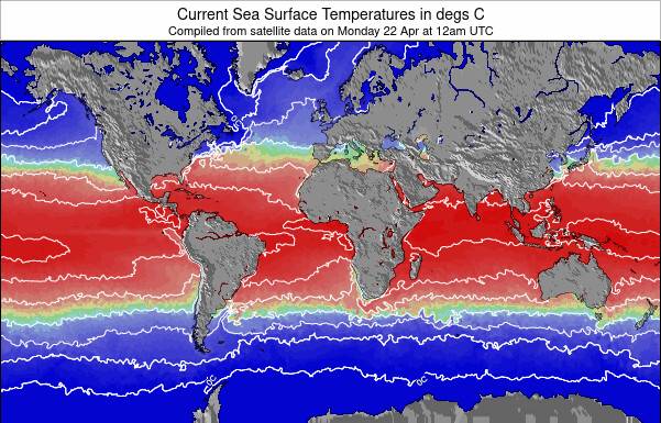
| inconsistent | 3.8°C*ocean temperature recorded from satellite |
Surfing Keweenaw Peninsula:
The best conditions reported for surf at Keweenaw Peninsula occur when a North-northeast swell combines with an offshore wind direction from the South-southwest.
Explore Keweenaw Peninsula Location Map
Interactive Keweenaw Peninsula surf break location map. View information about nearby surf breaks, their wave consistency and rating compared to other spots in the region. Current swell conditions from local buoys are shown along with live wind speed and direction from nearby weather stations. Click icons on the map for more detail. The nearest passenger airport to Keweenaw Peninsula is Sawyer International (Marquette) Airport (MQT) in USA, which is 113 km (70 miles) away (directly). The second closest airport to Keweenaw Peninsula is Thunder Bay Airport (YQT) in Canada, 133 km (83 miles) away.
- Map Icons:
 Break
Break Live Wave Height (m)
 Live Wind Speed (km/h)
 Surf Rating (10 Max)
 Ocean Swells (m)
- Wind Speed (km/h)
Tuesday, 9 June 2026, 04:25 Local Time
| Tuesday 09 | ||||
| 5AM | 8AM | 11AM | 2PM | |
| Wave (m) | ||||
| Period (s) | - | - | 6 | - |
| Wind (km/h) | ||||
| Wind State | glass | glass | cross | cross |
Swell History at Keweenaw Peninsula
Surf stats for Keweenaw Peninsula, see the swell variation by month or season on the history page here.


Wind History at Keweenaw Peninsula
Wind stats for Keweenaw Peninsula, see the variation in direction and stength by month or season on the history page here.

Keweenaw Peninsula Reviews:
Interactive Porthcawl Point location map. View nearby buoy information, live wind conditions and surrounding roads, paths and locations to help find new breaks. Click the buoys or wind icon to view more information.
Other Nearby Breaks Closest To:
Discover surf breaks near Keweenaw Peninsula. Click below to view there surf guides.
Wave Buoys Nearest To Keweenaw Peninsula:
- Closest Wave BuoyNorth Entry Buoy, North Keweenaw Peninsula24 mi away
- Second closest Wave BuoySouth Entry Buoy, South Keweenaw Peninsula35 mi away
- Third closest Wave BuoyIsle of Royale East Buoy45 mi away
- Fourth closest Wave BuoyMid Superior Buoy, 60NM NNE of Hancock45 mi away
- Fifth closest Wave BuoyEast Superior Buoy, 70 NM NE of Marquette75 mi away
 Nearest