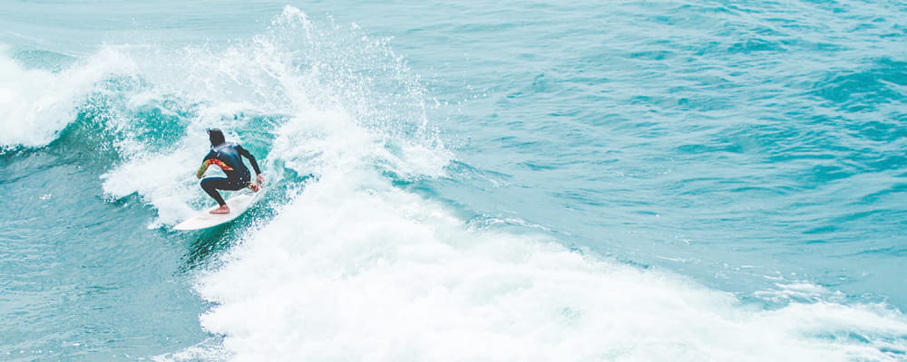

Surf Forecasts:

How big are the waves at Ballycastle today (09 Jun):
- Morning surf: Morning surf (09 Jun, local time) - 3ft (0.9m), 11s period with WNW swell.
- Afternoon surf: Afternoon surf (09 Jun, local time) - 3ft (0.9m), 11s period with WNW swell.
- Evening surf: Evening surf (09 Jun, local time) - 3.5ft (1.0m), 11s period with WNW swell.
The current surf forecast for Ballycastle at 8PM is: 0.9m 11s primary swell from a West-northwest direction and 0.8m 5s secondary swell from a West-northwest direction (forecast issued at 12:00pm June 09). The wind direction is predicted to be cross-onshore.
| Time (BST) & Date | Wave Height | Wave Period |
|---|---|---|
| Morning (09 Jun) | 3ft (0.9m) | 11s |
| Afternoon (09 Jun) | 3ft (0.9m) | 11s |
| Evening (09 Jun) | 3.5ft (1.0m) | 11s |
Table - waves today at Ballycastle. (Swell directed towards the surf break)
Updates in hr min s Forecast update imminent
Short Range ForecastModerate rain (total 16mm), heaviest on Wed night. Very mild (max 14°C on Thu afternoon, min 8°C on Tue night). Mainly fresh winds. | ||||||||||||||||||||||||
Tue 9 | Wednesday 10 | Thursday 11 | Fri 12 | |||||||||||||||||||||
10 AM | 1 PM | 4 PM | 7 PM | 10 PM | 1 AM | 4 AM | 7 AM | 10 AM | 1 PM | 4 PM | 7 PM | 10 PM | 1 AM | 4 AM | 7 AM | 10 AM | 1 PM | 4 PM | 7 PM | 10 PM | 1 AM | 4 AM | 7 AM | |
Swell Height Map |  |  |  |  |  |  |  |  | ||||||||||||||||
Wave Height (m) Direction Period (s) | WNW 11 | WNW 11 | WNW 11 | WNW 11 | WNW 11 | WNW 10 | WNW 10 | WNW 10 | WNW 10 | WNW 10 | WNW 9 | WNW 9 | WNW 9 | WNW 9 | WNW 9 | WNW 9 | WNW 9 | WNW 9 | WNW 9 | WNW 8 | WNW 8 | WNW 8 | WNW 8 | WNW 8 |
Wave Graph | ||||||||||||||||||||||||
170 | 170 | 173 | 170 | 260 | 202 | 180 | 173 | 135 | 132 | 124 | 203 | 203 | 199 | 199 | 172 | 141 | 101 | 99 | 134 | 105 | 105 | 96 | 78 | |
Wind (km/h) | ||||||||||||||||||||||||
Wind State on-shore cross-onshore cross-shore cross-offshore off-shore glassy | cross | cross-on | on | on | cross-on | cross | cross | cross | cross-on | cross-on | cross-on | on | cross-on | cross | cross-off | off | off | cross-off | cross | cross-on | cross-on | cross-on | cross | cross |
High Tide | 2:08AM0.55m | 3:33PM0.22m | 3:24AM0.56m | 4:55PM0.28m | 4:30AM0.55m | |||||||||||||||||||
Low Tide | 4:26PM0.16m | 2:10PM0.22m | 6:16PM0.21m | 1:15PM0.23m | 8:08PM0.22m | |||||||||||||||||||
4:46 | — | — | — | — | — | 4:45 | — | — | — | — | — | — | — | 4:45 | — | — | — | — | — | — | — | 4:43 | — | |
— | — | — | — | 10:01 | — | — | — | — | — | — | — | 10:02 | — | — | — | — | — | — | — | 10:04 | — | — | 10:04 | |
mm | 1 | 2 | — | — | — | — | — | — | 1 | 1 | 1 | — | — | — | — | 4 | 4 | 1 | — | 1 | — | — | — | — |
Temp °C | 10 | 12 | 12 | 11 | 9 | 8 | 8 | 8 | 10 | 11 | 12 | 12 | 10 | 8 | 8 | 9 | 10 | 11 | 13 | 14 | 13 | 12 | 12 | 12 |
Feels °C | 6 | 6 | 6 | 6 | 5 | 4 | 4 | 4 | 5 | 6 | 7 | 8 | 7 | 5 | 5 | 5 | 6 | 9 | 11 | 12 | 10 | 8 | 9 | 10 |
Swell 1 Height (m) Direction Period (s) | WNW 11 | WNW 11 | WNW 11 | WNW 11 | WNW 11 | WNW 10 | WNW 10 | WNW 10 | WNW 10 | WNW 10 | WNW 9 | WNW 9 | WNW 9 | WNW 9 | WNW 9 | WNW 9 | WNW 9 | WNW 9 | WNW 9 | WNW 8 | WNW 8 | WNW 8 | WNW 8 | WNW 8 |
170 | 170 | 173 | 170 | 260 | 202 | 180 | 173 | 135 | 132 | 124 | 119 | 203 | 199 | 199 | 172 | 141 | 101 | 99 | 134 | 105 | 105 | 96 | 78 | |
Swell 2 Height (m) Direction Period (s) | — | SSE 4 | — | — | — | — | — | — | — | — | — | — | — | — | — | — | — | — | SE 5 | ESE 4 | — | SE 5 | SE 4 | — |
— | 1 | — | — | — | — | — | — | — | — | — | — | — | — | — | — | — | — | 6 | 2 | — | 1 | 1 | — | |
Swell 3 Height (m) Direction Period (s) | — | — | — | — | — | — | — | — | — | — | — | — | — | — | — | — | — | — | — | — | — | — | — | — |
— | — | — | — | — | — | — | — | — | — | — | — | — | — | — | — | — | — | — | — | — | — | — | — | |
Wind waves Height (m) Direction Period (s) | SW 3 | WNW 3 | WNW 4 | WNW 5 | — | — | — | — | WSW 2 | — | — | WNW 9 | — | — | — | — | SE 3 | SE 4 | W 2 | WNW 3 | — | — | W 3 | — |
2 | 6 | 21 | 27 | — | — | — | — | 1 | — | — | 203 | — | — | — | — | 3 | 7 | 1 | 4 | — | — | 1 | — | |
Nearest Offshore or Glassy | ||||||||||||||||||||||||
Distance (km) | 26 | 50 | 1319 | 384 | 377 | 26 | 26 | 11 | 1030 | 771 | 421 | 410 | 26 | 11 | 11 | 19 | 19 | 11 | 22 | 11 | 193 | 193 | 186 | 11 |
Best forecast wave conditions in Antrim | ||||||||||||||||||||||||
Best forecast wave conditions in Ireland | ||||||||||||||||||||||||
Header Global | ||||||||||||||||||||||||
- Map Icons:
 Break
Break Live Wave Height (m)
 Live Wind Speed (km/h)
 Surf Rating (10 Max)
 Ocean Swells (m)
- Wind Speed (km/h)


FREE! Surf-Forecast.com widget for your website
The surf report / weather widget below is available to embed on third party websites free of charge and provides a summary of our Ballycastle surf forecast. Simply grab the html code snippet that we provide and paste it into your own site. You can choose your preferred language and metric/imperial units for the surf forecast feed to suit users of your site. Click here to get the code.
 Nearest